Wykebeck Woods
Introduction
The photograph on this page of Wykebeck Woods by Chris Heaton as part of the Geograph project.
The Geograph project started in 2005 with the aim of publishing, organising and preserving representative images for every square kilometre of Great Britain, Ireland and the Isle of Man.

There are currently over 7.5m images from over 14,400 individuals and you can help contribute to the project by visiting https://www.geograph.org.uk
Wykebeck Woods
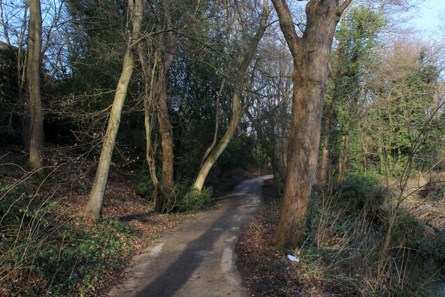
Image: © Chris Heaton Taken: 23 Feb 2022
As the name suggests - woods beside Wyke Beck. The path is part of a green corridor that runs southwards from Roundhay Park to Rothwell, via Temple Newsam.
Images are licensed for reuse under creativecommons.org/licenses/by-sa/2.0
Image Location
Latitude
53.82755
Longitude
-1.489646