IMAGES TAKEN NEAR TO
Whitestone Crescent, LEEDS, LS19 7JS
Introduction
This page details the photographs taken nearby to Whitestone Crescent, LS19 7JS by members of the Geograph project.
The Geograph project started in 2005 with the aim of publishing, organising and preserving representative images for every square kilometre of Great Britain, Ireland and the Isle of Man.

There are currently over 7.5m images from over14,400 individuals and you can help contribute to the project by visiting https://www.geograph.org.uk
Image Map
Images are licensed for reuse under creativecommons.org/licenses/by-sa/2.0
Notes
- Clicking on the map will re-center to the selected point.
- The higher the marker number, the further away the image location is from the centre of the postcode.
Image Listing (153 Images Found)
Images are licensed for reuse under creativecommons.org/licenses/by-sa/2.0
Image
Details
Distance
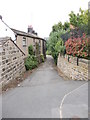
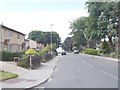
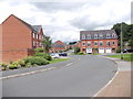
1
Haw Lane - viewed from Hawthorn Road
Image: © Betty Longbottom
Taken: 26 Jun 2012
0.04 miles
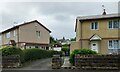
3
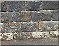
Yeadon, Haw Lane
This boundary wall on Haw Lane is in front of Number 16 and 18 Haw Lane, and on the east side of the road. There is a benchmark cut into the second course of stones, about 1 foot from ground level.
Image: © Mel Towler
Taken: 7 Aug 2021
0.05 miles
4
Yeadon, Haw Lane
Number 18 is on the left and number 16 is on the right. On the boundary wall to the left of this driveway, cut into the 2nd course of stone is a benchmark.
Image: © Mel Towler
Taken: 7 Aug 2021
0.05 miles
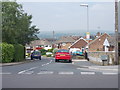
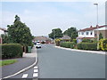
5
Haw Lane - viewed from Hawthorn Road
Image: © Betty Longbottom
Taken: 26 Jun 2012
0.05 miles
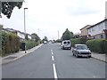
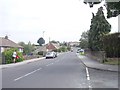
9
Hawthorn Road - viewed from Marshall Street
Image: © Betty Longbottom
Taken: 26 Jun 2012
0.07 miles