
IMAGES TAKEN NEAR TO
Rakehill Road, LEEDS, LS15 4JJ
Introduction
This page details the photographs taken nearby to Rakehill Road, LS15 4JJ by members of the Geograph project.
The Geograph project started in 2005 with the aim of publishing, organising and preserving representative images for every square kilometre of Great Britain, Ireland and the Isle of Man.

There are currently over 7.5m images from over14,400 individuals and you can help contribute to the project by visiting https://www.geograph.org.uk
Image Map
Images are licensed for reuse under creativecommons.org/licenses/by-sa/2.0
Notes
- Clicking on the map will re-center to the selected point.
- The higher the marker number, the further away the image location is from the centre of the postcode.
Image Listing (23 Images Found)
Images are licensed for reuse under creativecommons.org/licenses/by-sa/2.0
Image
Details
Distance
1
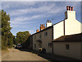
Springfield Farm, Rakehill Road, Barwick-in-Elmet
Image: © Stephen Craven
Taken: 14 Sep 2019
0.01 miles
2
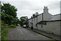
Springfiled Farm
Located along Rakehill Road which runs between Scholes and Barwick in Elmet. Whilst this road was open to all traffic in the past, it is now a bridleway.
Image: © DS Pugh
Taken: 3 Aug 2024
0.01 miles
3
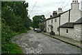
Houses at Rakehill, Barwick-in-Elmet
The nearest house is Springfield Farm. The tarmac road goes as far as this hamlet and then becomes a track.
Image: © Humphrey Bolton
Taken: 24 Jul 2021
0.01 miles
4
Barwick in Elmet, Rakehill Farm
The roadside growth of the hedgerow totally obliterating any view of Rakehill Farm.
Image: © Mel Towler
Taken: 26 Feb 2022
0.02 miles
5
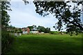
Towards Rakehill Farm
Viewed from Rakehill Road which runs between Scholes and Barwick in Elmet. Whilst the road was open to all traffic in the past, it is now a bridleway.
Image: © DS Pugh
Taken: 3 Aug 2024
0.02 miles
6
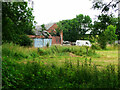
Ruined farm buildings, Rakehill Farm, Barwick-in-Elmet
Taken with a bit of zoom from the road on the bridge over Rake Beck.
Image: © Humphrey Bolton
Taken: 24 Jul 2021
0.03 miles
7
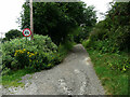
Rakehill Road west of Rakehill
This is shown on the map as a 'byway open to all traffic' but the sign indicates 'no motor vehicles except solo motorcycles' with the modifying plate 'except for access'.
Image: © Humphrey Bolton
Taken: 24 Jul 2021
0.03 miles
8

End of the road for motor vehicles, Rakehill Road
The road continues westwards as a restricted byway, fine for cycling in dry weather but not good after rain. The sign forbidding motor vehicles but not motorcycles is an unusual one.
Image: © Stephen Craven
Taken: 14 Sep 2019
0.03 miles
9
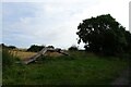
Tree trunk along Rake Hill Road
Rakehill Road runs between Scholes and Barwick in Elmet, and whilst this was open to all traffic in the past, it is now a bridleway.
Image: © DS Pugh
Taken: 3 Aug 2024
0.18 miles
10
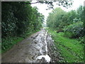
Rakehill Road.
Looking W towards Rakehill.
Image: © Steve Partridge
Taken: 2 Sep 2006
0.19 miles