Houses at Rakehill, Barwick-in-Elmet
Introduction
The photograph on this page of Houses at Rakehill, Barwick-in-Elmet by Humphrey Bolton as part of the Geograph project.
The Geograph project started in 2005 with the aim of publishing, organising and preserving representative images for every square kilometre of Great Britain, Ireland and the Isle of Man.

There are currently over 7.5m images from over 14,400 individuals and you can help contribute to the project by visiting https://www.geograph.org.uk
Houses at Rakehill, Barwick-in-Elmet
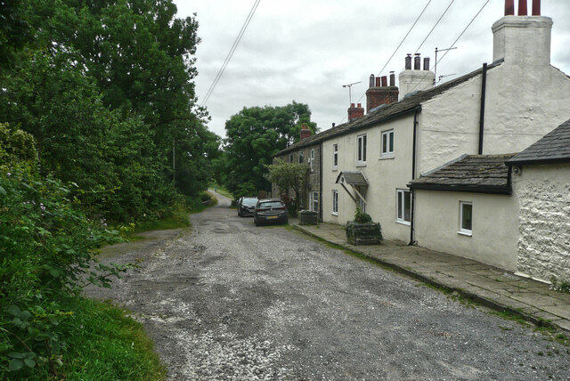
Image: © Humphrey Bolton Taken: 24 Jul 2021
The nearest house is Springfield Farm. The tarmac road goes as far as this hamlet and then becomes a track.
Images are licensed for reuse under creativecommons.org/licenses/by-sa/2.0
Image Location


Leaflet Map data © OpenStreetMap
Latitude
53.831031
Longitude
-1.406189