IMAGES TAKEN NEAR TO
Farringdon Street, HULL, HU5 1JA
Introduction
This page details the photographs taken nearby to Farringdon Street, HU5 1JA by members of the Geograph project.
The Geograph project started in 2005 with the aim of publishing, organising and preserving representative images for every square kilometre of Great Britain, Ireland and the Isle of Man.

There are currently over 7.5m images from over14,400 individuals and you can help contribute to the project by visiting https://www.geograph.org.uk
Image Map
Images are licensed for reuse under creativecommons.org/licenses/by-sa/2.0
Notes
- Clicking on the map will re-center to the selected point.
- The higher the marker number, the further away the image location is from the centre of the postcode.
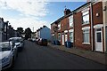
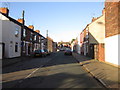
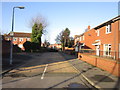
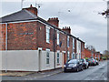
Image Listing (574 Images Found)
Images are licensed for reuse under creativecommons.org/licenses/by-sa/2.0
Image
Details
Distance
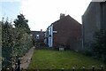
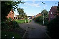
1
Farringdon Street, Kingston upon Hull
Branching off Stepney Lane, houses on the east side of Farringdon Street, a cul-de-sac.
Image: © Bernard Sharp
Taken: 25 Nov 2013
0.00 miles


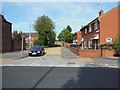
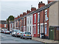
9
Stepney Lane, Kingston upon Hull
Houses on the north side of the street, east of the junction with Farringdon Street.
Image: © Bernard Sharp
Taken: 25 Nov 2013
0.03 miles