Stepney Lane, Kingston upon Hull
Introduction
The photograph on this page of Stepney Lane, Kingston upon Hull by Bernard Sharp as part of the Geograph project.
The Geograph project started in 2005 with the aim of publishing, organising and preserving representative images for every square kilometre of Great Britain, Ireland and the Isle of Man.

There are currently over 7.5m images from over 14,400 individuals and you can help contribute to the project by visiting https://www.geograph.org.uk
Stepney Lane, Kingston upon Hull
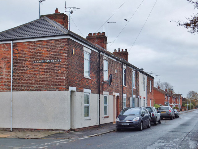
Image: © Bernard Sharp Taken: 25 Nov 2013
Houses on the north side of the street, east of the junction with Farringdon Street.
Images are licensed for reuse under creativecommons.org/licenses/by-sa/2.0
Image Location
Latitude
53.759157
Longitude
-0.345394