IMAGES TAKEN NEAR TO
Harpe Inge, HUDDERSFIELD, HD5 9RB
Introduction
This page details the photographs taken nearby to Harpe Inge, HD5 9RB by members of the Geograph project.
The Geograph project started in 2005 with the aim of publishing, organising and preserving representative images for every square kilometre of Great Britain, Ireland and the Isle of Man.

There are currently over 7.5m images from over14,400 individuals and you can help contribute to the project by visiting https://www.geograph.org.uk
Image Map
Images are licensed for reuse under creativecommons.org/licenses/by-sa/2.0
Notes
- Clicking on the map will re-center to the selected point.
- The higher the marker number, the further away the image location is from the centre of the postcode.
Image Listing (71 Images Found)
Images are licensed for reuse under creativecommons.org/licenses/by-sa/2.0
Image
Details
Distance
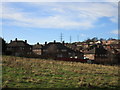
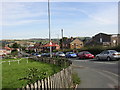
2
Coule Royd - viewed from Brock Bank
Image: © Betty Longbottom
Taken: 16 Nov 2015
0.05 miles
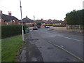
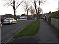
3
Coule Royd - viewed from Brock Bank
Image: © Betty Longbottom
Taken: 16 Nov 2015
0.05 miles
4
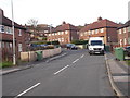
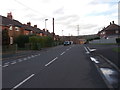
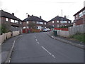
Harpe Ing, Dalton
A post-war council estate road. The chapel on the right is Dalton Baptist Chapel. Kirkheaton is on the hill in the background.
Image: © Humphrey Bolton
Taken: 24 Sep 2005
0.06 miles
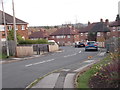
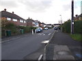
8
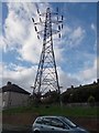
Electricity Pylon No PTD 33 - Holays
Image: © Betty Longbottom
Taken: 16 Nov 2015
0.08 miles