IMAGES TAKEN NEAR TO
Orchard Street, HUDDERSFIELD, HD4 6BN
Introduction
This page details the photographs taken nearby to Orchard Street, HD4 6BN by members of the Geograph project.
The Geograph project started in 2005 with the aim of publishing, organising and preserving representative images for every square kilometre of Great Britain, Ireland and the Isle of Man.

There are currently over 7.5m images from over14,400 individuals and you can help contribute to the project by visiting https://www.geograph.org.uk
Image Map
Images are licensed for reuse under creativecommons.org/licenses/by-sa/2.0
Notes
- Clicking on the map will re-center to the selected point.
- The higher the marker number, the further away the image location is from the centre of the postcode.
Image Listing (146 Images Found)
Images are licensed for reuse under creativecommons.org/licenses/by-sa/2.0
Image
Details
Distance
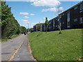
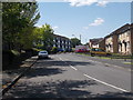
1
Armitage Street - Primrose Hill Road
Image: © Betty Longbottom
Taken: 24 May 2016
0.07 miles
2
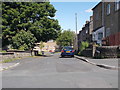
Greenwood Street - Primrose Hill Road
Image: © Betty Longbottom
Taken: 24 May 2016
0.08 miles
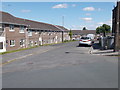
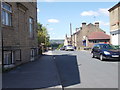
3
Orchard Street - Primrose Hill Road
Image: © Betty Longbottom
Taken: 24 May 2016
0.08 miles
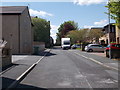
5
Perseverance Street - Primrose Hill Road
Image: © Betty Longbottom
Taken: 24 May 2016
0.09 miles
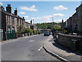
6
Primrose Hill Road - viewed from Cross Lane
Image: © Betty Longbottom
Taken: 24 May 2016
0.09 miles
7
Industrial Street - Primrose Hill Road
Image: © Betty Longbottom
Taken: 24 May 2016
0.09 miles
8

Electricity Substation No 323 - Stile Common Road
Image: © Betty Longbottom
Taken: 24 May 2016
0.09 miles
9
Stile Common Road - viewed from Cross Lane
Image: © Betty Longbottom
Taken: 24 May 2016
0.10 miles
10
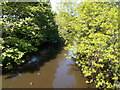
River Colne - viewed from Footbridge off Colne Road
Image: © Betty Longbottom
Taken: 24 May 2016
0.10 miles