IMAGES TAKEN NEAR TO
Roseberry Street, HUDDERSFIELD, HD2 2TE
Introduction
This page details the photographs taken nearby to Roseberry Street, HD2 2TE by members of the Geograph project.
The Geograph project started in 2005 with the aim of publishing, organising and preserving representative images for every square kilometre of Great Britain, Ireland and the Isle of Man.

There are currently over 7.5m images from over14,400 individuals and you can help contribute to the project by visiting https://www.geograph.org.uk
Image Map (Loading...)


Getting Data...Please wait
Leaflet Map data © OpenStreetMap
Images are licensed for reuse under creativecommons.org/licenses/by-sa/2.0
Notes
- Clicking on the map will re-center to the selected point.
- The higher the marker number, the further away the image location is from the centre of the postcode.
Image Listing (121 Images Found)
Images are licensed for reuse under creativecommons.org/licenses/by-sa/2.0
Image
Details
Distance
2
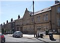
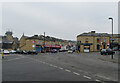
Huddersfield Industrial Society Ltd - Branch No 23 - Norman Road
Image: © Betty Longbottom
Taken: 11 May 2015
0.04 miles
6
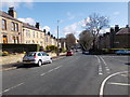
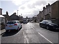
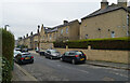
Birkby Hall Road - viewed from Armitage Road
Image: © Betty Longbottom
Taken: 31 Mar 2015
0.05 miles
8
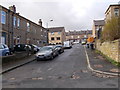
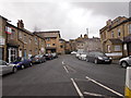
The junction of Blacker Road, Crescent Road and Norman Road, Birkby, Huddersfield
Image: © habiloid
Taken: 13 Feb 2023
0.06 miles
10
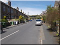
Birkby Hall Road - viewed from Armitage Road
Image: © Betty Longbottom
Taken: 31 Mar 2015
0.06 miles