IMAGES TAKEN NEAR TO
Fir Road, HUDDERSFIELD, HD1 4JE
Introduction
This page details the photographs taken nearby to Fir Road, HD1 4JE by members of the Geograph project.
The Geograph project started in 2005 with the aim of publishing, organising and preserving representative images for every square kilometre of Great Britain, Ireland and the Isle of Man.

There are currently over 7.5m images from over14,400 individuals and you can help contribute to the project by visiting https://www.geograph.org.uk
Image Map
Images are licensed for reuse under creativecommons.org/licenses/by-sa/2.0
Notes
- Clicking on the map will re-center to the selected point.
- The higher the marker number, the further away the image location is from the centre of the postcode.
Image Listing (81 Images Found)
Images are licensed for reuse under creativecommons.org/licenses/by-sa/2.0
Image
Details
Distance
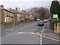
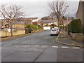
1
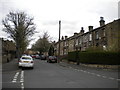
Fir Road - viewed from North Street
Image: © Betty Longbottom
Taken: 25 Jan 2016
0.02 miles
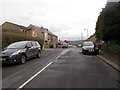
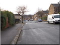
2
Fir Road - viewed from North Street
Image: © Betty Longbottom
Taken: 25 Jan 2016
0.03 miles
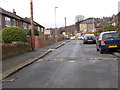
5
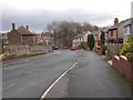
Heatherfield Crescent - Heatherfield Road
Image: © Betty Longbottom
Taken: 25 Jan 2016
0.08 miles
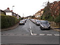
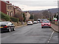
7
Beech Street, Paddock
Seen from its junction with North Street.
Image: © Richard Vince
Taken: 10 Apr 2019
0.10 miles