
IMAGES TAKEN NEAR TO
Lamberts Field, CHELTENHAM, GL54 2EH
Introduction
This page details the photographs taken nearby to Lamberts Field, GL54 2EH by members of the Geograph project.
The Geograph project started in 2005 with the aim of publishing, organising and preserving representative images for every square kilometre of Great Britain, Ireland and the Isle of Man.

There are currently over 7.5m images from over14,400 individuals and you can help contribute to the project by visiting https://www.geograph.org.uk
Image Map
Images are licensed for reuse under creativecommons.org/licenses/by-sa/2.0
Notes
- Clicking on the map will re-center to the selected point.
- The higher the marker number, the further away the image location is from the centre of the postcode.
Image Listing (23 Images Found)
Images are licensed for reuse under creativecommons.org/licenses/by-sa/2.0
Image
Details
Distance
1
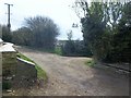
Ways cross
Cemetery Lane, a restricted byway, runs from Station Road (behind the camera) to Rissington Bridge. The footpath to the right leads to Rissington Road whilst on the left the footpath heads to Moor Lane.
Image: © Michael Dibb
Taken: 2 Apr 2011
0.11 miles
2
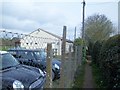
Narrow path
The footpath is well enclosed as it runs past the pavilion of Bourton-on-the-Water Football Club.
Image: © Michael Dibb
Taken: 2 Apr 2011
0.12 miles
3
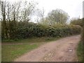
Two ways to go
The Diamond Way long distance path continues along the lane to the right. Another path goes to the right to pass between two lakes Image
Image: © Michael Dibb
Taken: 2 Apr 2011
0.14 miles
4
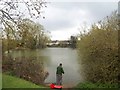
Fishing lake
This small lake is adjacent to the tennis club and the cricket club.
Image: © Michael Dibb
Taken: 2 Apr 2011
0.14 miles
5
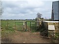
Towards Moor Lane
From Cemetery Lane a footpath heads along the field edge towards Moor Lane.
Image: © Michael Dibb
Taken: 2 Apr 2011
0.15 miles
6
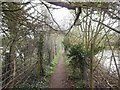
Between the lakes
After branching off the Diamond Way, the footpath to Rissington Mill passes along this narrow strip of land between two lakes.
Image: © Michael Dibb
Taken: 2 Apr 2011
0.15 miles
7
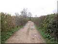
Enclosed path
The Diamond Way long distance path now passes along the lane between two lakes.
Image: © Michael Dibb
Taken: 2 Apr 2011
0.17 miles
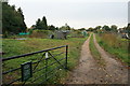
9
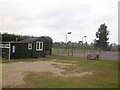
Anyone for tennis?
Bourton-on-the-Water Tennis Club, seen from the footpath.
Image: © Michael Dibb
Taken: 2 Apr 2011
0.18 miles
10
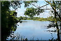
One of the lakes
This area to the east of Bourton-on-the-Water is known as The Lakes. The worked out gravel pits are now used for various purposes including fishing and a nature reserve. The footpath goes round the south side of this lake.
Image: © Graham Horn
Taken: 12 Sep 2012
0.19 miles