One of the lakes
Introduction
The photograph on this page of One of the lakes by Graham Horn as part of the Geograph project.
The Geograph project started in 2005 with the aim of publishing, organising and preserving representative images for every square kilometre of Great Britain, Ireland and the Isle of Man.

There are currently over 7.5m images from over 14,400 individuals and you can help contribute to the project by visiting https://www.geograph.org.uk
One of the lakes
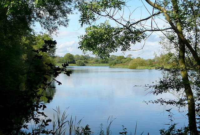
Image: © Graham Horn Taken: 12 Sep 2012
This area to the east of Bourton-on-the-Water is known as The Lakes. The worked out gravel pits are now used for various purposes including fishing and a nature reserve. The footpath goes round the south side of this lake.
Images are licensed for reuse under creativecommons.org/licenses/by-sa/2.0
Image Location
Latitude
51.880983
Longitude
-1.742814