Ways cross
Introduction
The photograph on this page of Ways cross by Michael Dibb as part of the Geograph project.
The Geograph project started in 2005 with the aim of publishing, organising and preserving representative images for every square kilometre of Great Britain, Ireland and the Isle of Man.

There are currently over 7.5m images from over 14,400 individuals and you can help contribute to the project by visiting https://www.geograph.org.uk
Ways cross
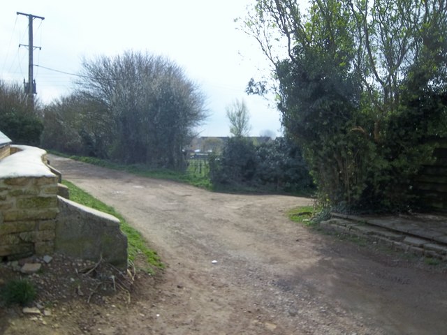
Image: © Michael Dibb Taken: 2 Apr 2011
Cemetery Lane, a restricted byway, runs from Station Road (behind the camera) to Rissington Bridge. The footpath to the right leads to Rissington Road whilst on the left the footpath heads to Moor Lane.
Images are licensed for reuse under creativecommons.org/licenses/by-sa/2.0
Image Location
Latitude
51.882973
Longitude
-1.748324