
IMAGES TAKEN NEAR TO
Kites Nest Lane, STROUD, GL5 3PJ
Introduction
This page details the photographs taken nearby to Kites Nest Lane, GL5 3PJ by members of the Geograph project.
The Geograph project started in 2005 with the aim of publishing, organising and preserving representative images for every square kilometre of Great Britain, Ireland and the Isle of Man.

There are currently over 7.5m images from over14,400 individuals and you can help contribute to the project by visiting https://www.geograph.org.uk
Image Map
Images are licensed for reuse under creativecommons.org/licenses/by-sa/2.0
Notes
- Clicking on the map will re-center to the selected point.
- The higher the marker number, the further away the image location is from the centre of the postcode.
Image Listing (42 Images Found)
Images are licensed for reuse under creativecommons.org/licenses/by-sa/2.0
Image
Details
Distance
1
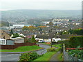
View from Kitesnest Road, Lightpill
Looking north over the Stroud conurbation in its valley.
Image: © Jonathan Billinger
Taken: 5 Nov 2008
0.07 miles
2
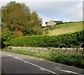
Hilltop house in Rodborough
Above the A46 Bath Road in the Gloucestershire Cotswolds.
Image: © Jaggery
Taken: 18 Oct 2015
0.09 miles
3
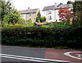
Lightpill houses
Houses in Ash Road, Lightpill, viewed from the A46 Bath Road in the Gloucestershire Cotswolds.
Image: © Jaggery
Taken: 18 Oct 2015
0.11 miles
4
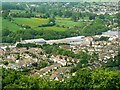
Lightpill, near Stroud
The housing in this image is partly inside this square, that to the left of the diagonal line of trees in the centre of the picture. The commercial/industrial development is west of Dudbridge Road and is outside the square.
Image: © Brian Robert Marshall
Taken: 14 May 2008
0.12 miles
5

Crocodile teeth markings on Bath Road, Rodborough
Drawing drivers' attention to the start of the 30mph speed limit on the A46.
Image: © Jaggery
Taken: 18 Oct 2015
0.13 miles
6
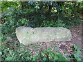
Stone Stile, Lightpill
Off the A46 Bath Rd, in the Lightpill area of Rodborough, Stroud. Not on a registered footpath on the South side of a gated path to the Naislworth branch of the Midland rail track, now a walking/cycling route. This is looking from the road, the view looking to the road is Image
Image: © Mr Red
Taken: 27 Jun 2022
0.13 miles
7
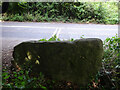
Stone Stile, Lightpill
Off the A46 Bath Rd, in the Lightpill area of Rodborough, Stroud. Not on a registered footpath on the South side of a gated path to the Naislworth branch of the Midland rail track, now a walking/cycling route. This is looking to the road, the view looking from the road is Image
Image: © Mr Red
Taken: 27 Jun 2022
0.13 miles
8
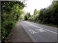
SLOW on the A46, Rodborough
The 40mph speed limit on the A46 Bath Road drops to 30mph ahead.
Image: © Jaggery
Taken: 18 Oct 2015
0.13 miles
9
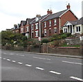
Houses above Bath Road, Lightpill
Viewed across the A46 Bath Road from the entrance http://www.geograph.org.uk/photo/4709211 to Stroud Enterprise Centre.
Image: © Jaggery
Taken: 18 Oct 2015
0.14 miles
10
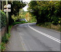
Unofficial road sign, Rodborough
The home-made sign alongside the A46 Bath Road shows
CONCEALED ENTRANCE
30MPH PLEASE.
The damaged cardboard sign above it retains some letters of BLIND ENTRANCE.
Image: © Jaggery
Taken: 18 Oct 2015
0.14 miles