Houses above Bath Road, Lightpill
Introduction
The photograph on this page of Houses above Bath Road, Lightpill by Jaggery as part of the Geograph project.
The Geograph project started in 2005 with the aim of publishing, organising and preserving representative images for every square kilometre of Great Britain, Ireland and the Isle of Man.

There are currently over 7.5m images from over 14,400 individuals and you can help contribute to the project by visiting https://www.geograph.org.uk
Houses above Bath Road, Lightpill
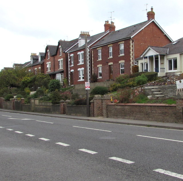
Image: © Jaggery Taken: 18 Oct 2015
Viewed across the A46 Bath Road from the entrance http://www.geograph.org.uk/photo/4709211 to Stroud Enterprise Centre.
Images are licensed for reuse under creativecommons.org/licenses/by-sa/2.0
Image Location
Latitude
51.73277
Longitude
-2.233371