Lightpill, near Stroud
Introduction
The photograph on this page of Lightpill, near Stroud by Brian Robert Marshall as part of the Geograph project.
The Geograph project started in 2005 with the aim of publishing, organising and preserving representative images for every square kilometre of Great Britain, Ireland and the Isle of Man.

There are currently over 7.5m images from over 14,400 individuals and you can help contribute to the project by visiting https://www.geograph.org.uk
Lightpill, near Stroud
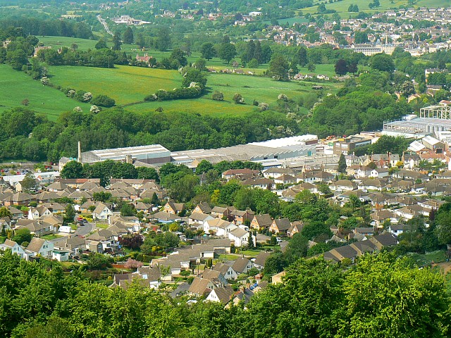
Image: © Brian Robert Marshall Taken: 14 May 2008
The housing in this image is partly inside this square, that to the left of the diagonal line of trees in the centre of the picture. The commercial/industrial development is west of Dudbridge Road and is outside the square.
Images are licensed for reuse under creativecommons.org/licenses/by-sa/2.0
Image Location
Latitude
51.733226
Longitude
-2.229753