
IMAGES TAKEN NEAR TO
Devon Street, GRANGEMOUTH, FK3 8HF
Introduction
This page details the photographs taken nearby to Devon Street, FK3 8HF by members of the Geograph project.
The Geograph project started in 2005 with the aim of publishing, organising and preserving representative images for every square kilometre of Great Britain, Ireland and the Isle of Man.

There are currently over 7.5m images from over14,400 individuals and you can help contribute to the project by visiting https://www.geograph.org.uk
Image Map
Images are licensed for reuse under creativecommons.org/licenses/by-sa/2.0
Notes
- Clicking on the map will re-center to the selected point.
- The higher the marker number, the further away the image location is from the centre of the postcode.
Image Listing (39 Images Found)
Images are licensed for reuse under creativecommons.org/licenses/by-sa/2.0
Image
Details
Distance
1
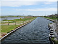
River Carron and Forth & Clyde Canal Extension
Viewed from the Kerse Bridge, the River Carron (left) is close to entering the Firth of Forth. The canal (right) is the extension to the Forth & Clyde Canal following the construction of the Kelpies.
Image: © G Laird
Taken: 4 May 2017
0.05 miles
2
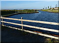
Winding hole on the Forth and Clyde Canal
This new extension of the Forth and Clyde Canal was opened in July 2015, it leads to a new sea lock which joins the River Carron.
Image: © Mat Fascione
Taken: 31 May 2016
0.08 miles
3
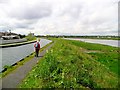
Path between the canal and the river
The current OS 50,000 and 25,000 mapping is incorrect, showing the Forth & Clyde Canal joining the River Carron to the west of the motorway, rather than running parallel but separate to the river for a further half mile or so east of the M9. This is because the canal was extended in 2014 to permit easier access from the river.
Image: © Gordon Brown
Taken: 10 May 2014
0.08 miles
4
Drilling, Glensburgh
Some drilling going on beside the Carron estuary.
Image: © Richard Webb
Taken: 18 Sep 2009
0.09 miles
5
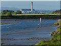
The River Carron at Glensburgh
Just over three miles away is the Longannet power station, situated on the north bank of the Firth of Forth near Kincardine. At the time of its completion in 1970 it was the largest power station in Europe. It had a generating capacity of 2,400 megawatts, the chimney is 183 m (600 ft) in height.
Longannet power station closed on 24 March 2016 after failing to win a contract from the National Grid.
Image: © Mat Fascione
Taken: 31 May 2016
0.09 miles
6
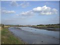
![Grangemouth, alongside the Carron [3]](https://s0.geograph.org.uk/geophotos/04/55/11/4551148_c2ea1dce_120x120.jpg)
Grangemouth, alongside the Carron [3]
View downriver towards the pipe bridge.
Image: © Robert Murray
Taken: 1 Jul 2015
0.10 miles
8
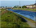
The Helix Canal Extension of the Forth and Clyde Canal
This new extension of the Forth and Clyde Canal was opened in July 2015, it leads to a new sea lock which joins the River Carron.
Image: © Mat Fascione
Taken: 31 May 2016
0.12 miles
10
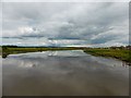
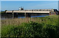
River Carron at Glensburgh
At near high tide. The canal new cut runs alongside on the right towards and beyond the pipe bridge downstream to a newly built sea lock.
Image: © Robert Murray
Taken: 29 Jun 2014
0.12 miles