River Carron and Forth & Clyde Canal Extension
Introduction
The photograph on this page of River Carron and Forth & Clyde Canal Extension by G Laird as part of the Geograph project.
The Geograph project started in 2005 with the aim of publishing, organising and preserving representative images for every square kilometre of Great Britain, Ireland and the Isle of Man.

There are currently over 7.5m images from over 14,400 individuals and you can help contribute to the project by visiting https://www.geograph.org.uk
River Carron and Forth & Clyde Canal Extension
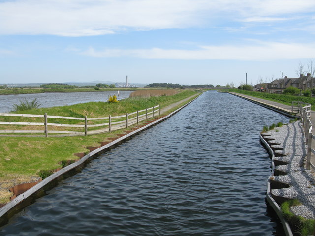
Image: © G Laird Taken: 4 May 2017
Viewed from the Kerse Bridge, the River Carron (left) is close to entering the Firth of Forth. The canal (right) is the extension to the Forth & Clyde Canal following the construction of the Kelpies.
Images are licensed for reuse under creativecommons.org/licenses/by-sa/2.0
Image Location
Latitude
56.021333
Longitude
-3.745316