
IMAGES TAKEN NEAR TO
Mays Lane, BARNET, EN5 2DY
Introduction
This page details the photographs taken nearby to Mays Lane, EN5 2DY by members of the Geograph project.
The Geograph project started in 2005 with the aim of publishing, organising and preserving representative images for every square kilometre of Great Britain, Ireland and the Isle of Man.

There are currently over 7.5m images from over14,400 individuals and you can help contribute to the project by visiting https://www.geograph.org.uk
Image Map
Images are licensed for reuse under creativecommons.org/licenses/by-sa/2.0
Notes
- Clicking on the map will re-center to the selected point.
- The higher the marker number, the further away the image location is from the centre of the postcode.
Image Listing (25 Images Found)
Images are licensed for reuse under creativecommons.org/licenses/by-sa/2.0
Image
Details
Distance
4
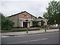
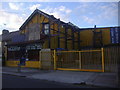
Barnet South Community Association hall on Mays Lane
Image: © Bikeboy
Taken: 14 Jun 2012
0.04 miles
6
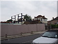
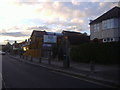
Site of former timber yard in Mays Lane
This closed down early in 2012. It had been here for at least 15 years, see http://www.geograph.org.uk/photo/2655382 . The bollards on the pavement were to try and stop the customers'lorries and vans parking on the pavement. I don't know what they are going to do with the site.
Image: © Bikeboy
Taken: 14 Jun 2012
0.05 miles
9
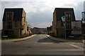
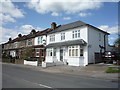
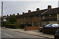
New houses on Hera Avenue, Barnet
Hera Avenue forms a new entrance to the older-established Dollis Valley Estate, which can be seen down the hill.
Image: © Christopher Hilton
Taken: 21 Mar 2016
0.10 miles
10
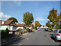
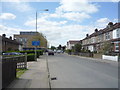
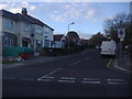
Upwards to High Barnet
Bedford Avenue slopes gently up towards High Barnet station at the top.
Image: © Des Blenkinsopp
Taken: 24 Oct 2013
0.11 miles