Site of former timber yard in Mays Lane
Introduction
The photograph on this page of Site of former timber yard in Mays Lane by Bikeboy as part of the Geograph project.
The Geograph project started in 2005 with the aim of publishing, organising and preserving representative images for every square kilometre of Great Britain, Ireland and the Isle of Man.

There are currently over 7.5m images from over 14,400 individuals and you can help contribute to the project by visiting https://www.geograph.org.uk
Site of former timber yard in Mays Lane
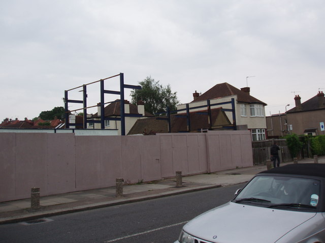
Image: © Bikeboy Taken: 14 Jun 2012
This closed down early in 2012. It had been here for at least 15 years, see http://www.geograph.org.uk/photo/2655382 . The bollards on the pavement were to try and stop the customers'lorries and vans parking on the pavement. I don't know what they are going to do with the site.
Images are licensed for reuse under creativecommons.org/licenses/by-sa/2.0
Image Location
Latitude
51.645896
Longitude
-0.203458