
IMAGES TAKEN NEAR TO
Pendine Close, KIDDERMINSTER, DY11 5EJ
Introduction
This page details the photographs taken nearby to Pendine Close, DY11 5EJ by members of the Geograph project.
The Geograph project started in 2005 with the aim of publishing, organising and preserving representative images for every square kilometre of Great Britain, Ireland and the Isle of Man.

There are currently over 7.5m images from over14,400 individuals and you can help contribute to the project by visiting https://www.geograph.org.uk
Image Map
Images are licensed for reuse under creativecommons.org/licenses/by-sa/2.0
Notes
- Clicking on the map will re-center to the selected point.
- The higher the marker number, the further away the image location is from the centre of the postcode.
Image Listing (109 Images Found)
Images are licensed for reuse under creativecommons.org/licenses/by-sa/2.0
Image
Details
Distance
1

Steps up to Hawkstone Close, Kidderminster, Worcs
These steps lead up to the close from a public footpath running adjacent to one edge of Puxton Marsh.
Image: © P L Chadwick
Taken: 3 Apr 2022
0.10 miles
2
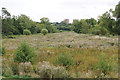
Flood plain of the River Stour
This area is a Site of Special Scientific Interest, and is intended to retain water as part of the Kidderminster Flood Alleviation Scheme. It is viewed here from the towpath of the Staffordshire & Worcestershire Canal.
Image: © Bill Boaden
Taken: 14 Sep 2018
0.12 miles
3
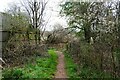
Bend in public footpath near Puxton Marsh, Kidderminster, Worcs
The footpath, which runs near the edge of Puxton Marsh, bends to the left.
Image: © P L Chadwick
Taken: 3 Apr 2022
0.13 miles
4

Staffordshire and Worcestershire Canal north of Kidderminster
The level embankment obscuring the view across the River Stour is part of the Kidderminster Flood Alleviation programme, constructed in 2003/4. Wolverley Court Lock and Bridge are out of sight beyond the moored narrowboat.
Image: © Roger D Kidd
Taken: 21 Oct 2008
0.13 miles
5
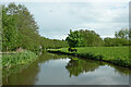
Staffordshire and Worcestershire Canal north of Kidderminster
Looking south-east from near Wolverley Court Lock. The canal meanders on towards Kidderminster and Stourport.
Image: © Roger Kidd
Taken: 13 May 2014
0.14 miles
6
![The Staffs and Worcs canal [2]](https://s3.geograph.org.uk/geophotos/03/16/10/3161035_6bea0c0d_120x120.jpg)
The Staffs and Worcs canal [2]
Looking north between bridges 18 and 19.
Image: © Christine Johnstone
Taken: 3 Sep 2012
0.14 miles
7
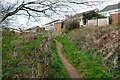
Public footpath near Puxton Marsh, Kidderminster, Worcs
This footpath skirts the edge of Puxton Marsh and in this direction comes out at the end of Puxton Lane.
Image: © P L Chadwick
Taken: 3 Apr 2022
0.14 miles
8
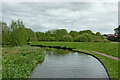
Staffordshire and Worcestershire Canal north of Kidderminster
Looking south-south-east from Wolverley Court Lock Bridge. The canal meanders towards Kidderminster and Stourport.
Image: © Roger Kidd
Taken: 13 May 2014
0.14 miles
9
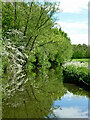
Staffordshire and Worcestershire Canal approaching Kidderminster
Looking south-east as the canal meanders towards the outskirts of Kidderminster. The River Stour is nearby, off to the right.
Image: © Roger Kidd
Taken: 13 May 2014
0.14 miles
10
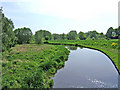
Staffs & Worcs Canal south of Wolverley Court Bridge
The canal is seen here looking from Wolverley Court Bridge. The towpath is on the righthand bank.
Image: © P L Chadwick
Taken: 12 May 2008
0.14 miles