Flood plain of the River Stour
Introduction
The photograph on this page of Flood plain of the River Stour by Bill Boaden as part of the Geograph project.
The Geograph project started in 2005 with the aim of publishing, organising and preserving representative images for every square kilometre of Great Britain, Ireland and the Isle of Man.

There are currently over 7.5m images from over 14,400 individuals and you can help contribute to the project by visiting https://www.geograph.org.uk
Flood plain of the River Stour
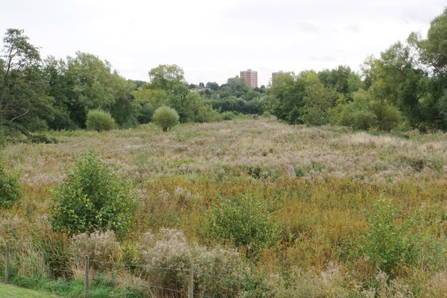
Image: © Bill Boaden Taken: 14 Sep 2018
This area is a Site of Special Scientific Interest, and is intended to retain water as part of the Kidderminster Flood Alleviation Scheme. It is viewed here from the towpath of the Staffordshire & Worcestershire Canal.
Images are licensed for reuse under creativecommons.org/licenses/by-sa/2.0
Image Location


Leaflet Map data © OpenStreetMap
Latitude
52.402175
Longitude
-2.250854