
IMAGES TAKEN NEAR TO
Birch Drive, SCUNTHORPE, DN16 3GU
Introduction
This page details the photographs taken nearby to Birch Drive, DN16 3GU by members of the Geograph project.
The Geograph project started in 2005 with the aim of publishing, organising and preserving representative images for every square kilometre of Great Britain, Ireland and the Isle of Man.

There are currently over 7.5m images from over14,400 individuals and you can help contribute to the project by visiting https://www.geograph.org.uk
Image Map
Images are licensed for reuse under creativecommons.org/licenses/by-sa/2.0
Notes
- Clicking on the map will re-center to the selected point.
- The higher the marker number, the further away the image location is from the centre of the postcode.
Image Listing (30 Images Found)
Images are licensed for reuse under creativecommons.org/licenses/by-sa/2.0
Image
Details
Distance
1
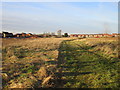
Brat Hill housing
Much of the land in the foreground will eventually be developed for housing.
Image: © Jonathan Thacker
Taken: 7 Feb 2018
0.11 miles
3
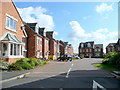
Silverbell Close
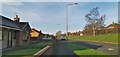
New builds on the south-east outskirts of Scunthorpe.
Image: © Jonathan Billinger
Taken: 27 May 2010
0.13 miles
4
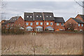
Houses on Mulberry Gardens
Taken from the Opencast Way.
Image: © Ian S
Taken: 21 Mar 2016
0.14 miles
5
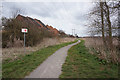
Path leading to Wisteria Way
Taken from the Opencast Way.
Image: © Ian S
Taken: 21 Mar 2016
0.14 miles
8
Bottesford Beck Linear Park
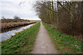
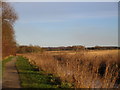
The linear park runs from the A159 (Messingham Road) to Emmanuel Bridge on the A18.
Image: © Jonathan Thacker
Taken: 7 Feb 2018
0.16 miles
9
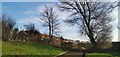
End of Crowberry Drive
With Brat Hill beyond the fence. Potential housing site?
Image: © Chris Morgan
Taken: 5 Feb 2020
0.17 miles
10
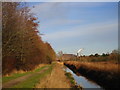
Bottesford Beck Linear Park
Part of Scunthorpe steelworks in the distance.
The linear park runs from the A159 (Messingham Road) to Emmanuel Bridge on the A18.
Image: © Jonathan Thacker
Taken: 7 Feb 2018
0.17 miles