End of Crowberry Drive
Introduction
The photograph on this page of End of Crowberry Drive by Chris Morgan as part of the Geograph project.
The Geograph project started in 2005 with the aim of publishing, organising and preserving representative images for every square kilometre of Great Britain, Ireland and the Isle of Man.

There are currently over 7.5m images from over 14,400 individuals and you can help contribute to the project by visiting https://www.geograph.org.uk
End of Crowberry Drive
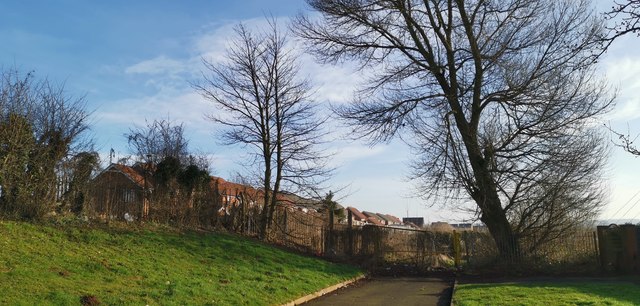
Image: © Chris Morgan Taken: 5 Feb 2020
With Brat Hill beyond the fence. Potential housing site?
Images are licensed for reuse under creativecommons.org/licenses/by-sa/2.0
Image Location
Latitude
53.56097
Longitude
-0.624304