
IMAGES TAKEN NEAR TO
Denesyde, CONSETT, DH8 6PX
Introduction
This page details the photographs taken nearby to Denesyde, DH8 6PX by members of the Geograph project.
The Geograph project started in 2005 with the aim of publishing, organising and preserving representative images for every square kilometre of Great Britain, Ireland and the Isle of Man.

There are currently over 7.5m images from over14,400 individuals and you can help contribute to the project by visiting https://www.geograph.org.uk
Image Map
Images are licensed for reuse under creativecommons.org/licenses/by-sa/2.0
Notes
- Clicking on the map will re-center to the selected point.
- The higher the marker number, the further away the image location is from the centre of the postcode.
Image Listing (16 Images Found)
Images are licensed for reuse under creativecommons.org/licenses/by-sa/2.0
Image
Details
Distance
1
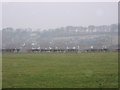
The Dene
View of the entire small estate called The Dene situated near the main road of the village Medomsley.
Image: © Colin Edgar
Taken: 8 Jan 2006
0.04 miles
2
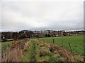
The Dene from the west
View of this housing estate at Medomsley from the path leading over the fields from Ebchester bank.
Image: © Robert Graham
Taken: 5 Dec 2017
0.05 miles
3
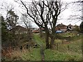
Path leading to The Dene at Medomsley
The housing estate here was built in the 1960's I think, for the miners of Derwent Colliery at Medomsley. The path leads in from the west over the little wooded ravine called Ebchester Dene, from where the estate gets its name.
Image: © Robert Graham
Taken: 5 Dec 2017
0.06 miles
4
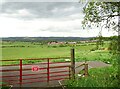
View over the gate at Medomsley Edge
Looking north from the roadside of the B6310. The Dene housing estate was built in the 1930's for the local miners. There is a nice view of the north side of the Derwent Valley.
Image: © Robert Graham
Taken: 28 May 2021
0.08 miles
5
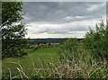
Looking over to The Dene
This housing estate is a little way north of the B6310 on the west side of Medomsley village. It was built in the 1930's for the miners who worked at the two collieries in Medomsley, both within easy walking distance. Note also the view here of the north side of the Derwent Valley.
Image: © Robert Graham
Taken: 28 May 2021
0.09 miles
6
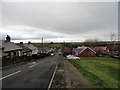
Looking west down The Dene
This 1960's housing estate forms a discreet part of Medomsley, a short distance north of the main village. On an elevated site above the Derwent Valley, it has extensive views to the west.
Image: © Robert Graham
Taken: 5 Dec 2017
0.10 miles
7
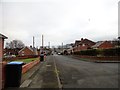
Main street at The Dene
This housing estate at Medomsley was built about 50 years ago for the miners who worked in the two large collieries in the village. View looking east up the bank.
Image: © Robert Graham
Taken: 5 Dec 2017
0.11 miles
8
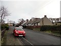
Adam's Terrace, The Dene
A housing estate on the north side of Medomsley village. This terrace of Bungalows is at the east end of the main road through the estate.
Image: © Robert Graham
Taken: 5 Dec 2017
0.16 miles
9
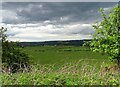
Countryside view from the B6310
Looking north over to the Derwent Valley from the roadside west of Medomsley village. The notch in the skyline in the centre is Apperly Bank near Hedley on the hill in Northumberland.
Image: © Robert Graham
Taken: 28 May 2021
0.17 miles
10
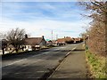
The Dene, Medomsley
This large council estate, which leads off down the bank to the left on this photo, is located to the north of Medomsley village. Away from the main road, it was built about 50 years ago to house the miners working in the nearby collieries at Medomsley.
Image: © Robert Graham
Taken: 28 Feb 2014
0.18 miles