The Dene, Medomsley
Introduction
The photograph on this page of The Dene, Medomsley by Robert Graham as part of the Geograph project.
The Geograph project started in 2005 with the aim of publishing, organising and preserving representative images for every square kilometre of Great Britain, Ireland and the Isle of Man.

There are currently over 7.5m images from over 14,400 individuals and you can help contribute to the project by visiting https://www.geograph.org.uk
The Dene, Medomsley
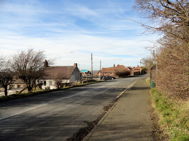
Image: © Robert Graham Taken: 28 Feb 2014
This large council estate, which leads off down the bank to the left on this photo, is located to the north of Medomsley village. Away from the main road, it was built about 50 years ago to house the miners working in the nearby collieries at Medomsley.
Images are licensed for reuse under creativecommons.org/licenses/by-sa/2.0
Image Location
Latitude
54.886558
Longitude
-1.822107