Path leading to The Dene at Medomsley
Introduction
The photograph on this page of Path leading to The Dene at Medomsley by Robert Graham as part of the Geograph project.
The Geograph project started in 2005 with the aim of publishing, organising and preserving representative images for every square kilometre of Great Britain, Ireland and the Isle of Man.

There are currently over 7.5m images from over 14,400 individuals and you can help contribute to the project by visiting https://www.geograph.org.uk
Path leading to The Dene at Medomsley
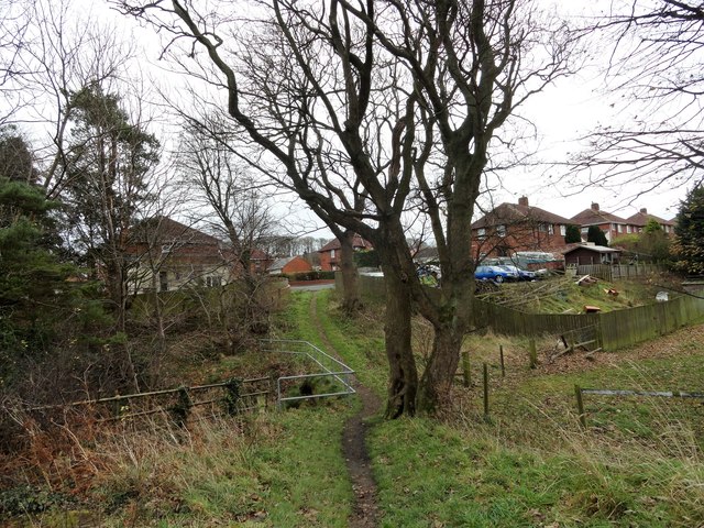
Image: © Robert Graham Taken: 5 Dec 2017
The housing estate here was built in the 1960's I think, for the miners of Derwent Colliery at Medomsley. The path leads in from the west over the little wooded ravine called Ebchester Dene, from where the estate gets its name.
Images are licensed for reuse under creativecommons.org/licenses/by-sa/2.0
Image Location
Latitude
54.885845
Longitude
-1.826475