IMAGES TAKEN NEAR TO
Lambourne Close, COVENTRY, CV5 7LA
Introduction
This page details the photographs taken nearby to Lambourne Close, CV5 7LA by members of the Geograph project.
The Geograph project started in 2005 with the aim of publishing, organising and preserving representative images for every square kilometre of Great Britain, Ireland and the Isle of Man.

There are currently over 7.5m images from over14,400 individuals and you can help contribute to the project by visiting https://www.geograph.org.uk
Image Map
Images are licensed for reuse under creativecommons.org/licenses/by-sa/2.0
Notes
- Clicking on the map will re-center to the selected point.
- The higher the marker number, the further away the image location is from the centre of the postcode.
Image Listing (20 Images Found)
Images are licensed for reuse under creativecommons.org/licenses/by-sa/2.0
Image
Details
Distance
1
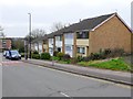
Alderminster Road
This short row of modern terraced housing is opposite Perth Rise and close to the junction with Unicorn Road.
Image: © Nigel Mykura
Taken: 6 Mar 2011
0.12 miles
2
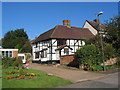
Lower Eastern Green Farmhouse
A 16th century timber framed former farmhouse in Unicorn Lane, now surrounded by 20th century housing.
A grade II listed building. LBS no. 218591
Image: © E Gammie
Taken: 10 Oct 2010
0.13 miles
3
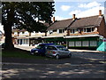
Shops at Wilmcote Green, Mount Nod
There is construction work going on at both ends of this terrace of shops which face on to a pleasant green with a number of large old trees. The shops in the centre are (from left): JSB Intruder Alarm Systems, Ego Hair & Beauty and a Londis general store.
Image: © John Brightley
Taken: 31 Aug 2010
0.14 miles
4
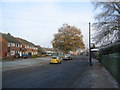
Alderminster Road, Mount Nod
A 1950s/60s estate. A small group of shops on Wilmcote Green behind the oak trees.
Image: © E Gammie
Taken: 6 Dec 2010
0.17 miles
5
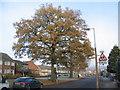
Oaks, Alderminster Road
Three of the five mature oaks dotted along this road. A small parade of shops on Wilmcote Green behind the trees.
Image: © E Gammie
Taken: 6 Dec 2010
0.17 miles
7
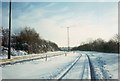
A45 empty of traffic, 1990
The day after a sudden very localised heavy snowfall - one of the rare occasions one can stand in a carriageway of the A45 without risk to life and limb. What you can't see is the large number of stranded articulated lorries coaches etc. that failed to make this rise by Allesley Park (on the left).
Image: © E Gammie
Taken: 9 Dec 1990
0.22 miles
8
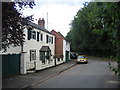
Old Cottages, Lower Eastern Green, Coventry
A row of original cottages in Unicorn Lane that pre-date the more modern housing development which has now covered this square.
Image: © David Stowell
Taken: 29 Aug 2005
0.22 miles
9
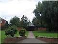
Good Shepherd Lutheran Church, Lower Eastern Green
A modern building, situated on Job's Lane.
Image: © David Stowell
Taken: 29 Aug 2005
0.22 miles