Lower Eastern Green Farmhouse
Introduction
The photograph on this page of Lower Eastern Green Farmhouse by E Gammie as part of the Geograph project.
The Geograph project started in 2005 with the aim of publishing, organising and preserving representative images for every square kilometre of Great Britain, Ireland and the Isle of Man.

There are currently over 7.5m images from over 14,400 individuals and you can help contribute to the project by visiting https://www.geograph.org.uk
Lower Eastern Green Farmhouse
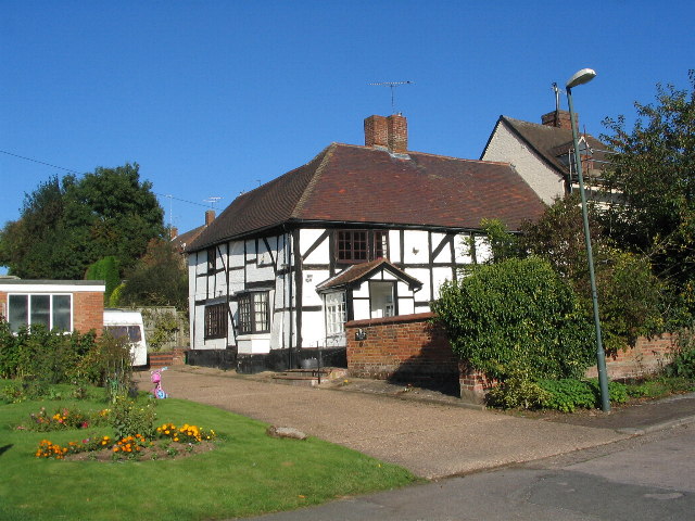
Image: © E Gammie Taken: 10 Oct 2010
A 16th century timber framed former farmhouse in Unicorn Lane, now surrounded by 20th century housing. A grade II listed building. LBS no. 218591
Images are licensed for reuse under creativecommons.org/licenses/by-sa/2.0
Image Location
Latitude
52.415072
Longitude
-1.574613