
IMAGES TAKEN NEAR TO
Russet Grove, The Arboretum, COVENTRY, CV4 7HH
Introduction
This page details the photographs taken nearby to Russet Grove, The Arboretum, CV4 7HH by members of the Geograph project.
The Geograph project started in 2005 with the aim of publishing, organising and preserving representative images for every square kilometre of Great Britain, Ireland and the Isle of Man.

There are currently over 7.5m images from over14,400 individuals and you can help contribute to the project by visiting https://www.geograph.org.uk
Image Map
Images are licensed for reuse under creativecommons.org/licenses/by-sa/2.0
Notes
- Clicking on the map will re-center to the selected point.
- The higher the marker number, the further away the image location is from the centre of the postcode.
Image Listing (53 Images Found)
Images are licensed for reuse under creativecommons.org/licenses/by-sa/2.0
Image
Details
Distance
3
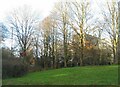
Edge of campus
Buildings at the edge of the University of Warwick's Gibbet Hill campus, screened by trees.
Image: © E Gammie
Taken: 20 Dec 2020
0.06 miles
4
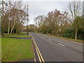
Gibbet Hill Road
Looking NNW along Gibbet Hill Road near the junction with Cryfield Heights.
Gibbet Hill Road, being the main road that passes through the Warwick University Campus, is double yellow lines, as seen on this photo, from the A429 Kenilworth Road junction, right past the University.
All the residential side roads, like Cryfield Heights, have double yellow lines for a few metres near the junctions, and are then single yellow lines throughout, with 8.00am to 6.00pm restrictions, presumably to stop staff and students parking for free during the day time.
Image: © David P Howard
Taken: 4 Jan 2013
0.07 miles
5
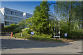
Near the Gibbet Hill Campus
The view is of one of the car park entrances and some of the buildings of the Gibbet Hill Campus of Warwick University.
Image: © Malcolm Neal
Taken: 26 May 2017
0.08 miles
6
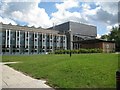
Newish buildings at Gibbet Hill, University of Warwick, Coventry
A sign points to Warwick Clinical Trials Unit and Mechanochemical Cell Biology Building. At the time of submission of this photo, more than a year after it was taken, these buildings appear only on OS Mastermap and Bing Maps aerial view. Google's aerial view shows older buildings in use while Bing's oblique bird's-eye views show them being demolished.
Image: © Robin Stott
Taken: 3 Aug 2013
0.09 miles
7
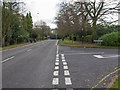
Gibbet Hill Road
The junction of Cryfield Heights with Gibbet Hill Road, at the southern edge of the grid square.
Gibbet Hill Road, being the main road that passes through the Warwick University Campus, is double yellow lines, as seen on this photo, from the A429 Kenilworth Road junction, right past the University.
All the residential side roads, like Cryfield Heights, have double yellow lines for a few metres near the junctions, and are then single yellow lines throughout, with 8.00am to 6.00pm restrictions, presumably to stop staff and students parking for free during the day time.
Image: © David P Howard
Taken: 4 Jan 2013
0.09 miles
8
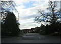
Cryfield Heights
A cul de sac built behind older, large detached houses on Gibbet Hill and Kenilworth Road. Although at no great height it is at a highest point locally as evidenced by the presence of a triangulation point nearby.
Image: © E Gammie
Taken: 20 Dec 2020
0.10 miles
9
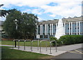
White Koan, Warwick University, Gibbet Hill campus
A 1972 sculpture by Liliane Lijn which once stood outside the Arts Centre and had rotating neon ellipses.
Image: © E Gammie
Taken: 20 Jun 2018
0.10 miles
10
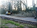
Tree debris removal, Kenilworth Road (3)
The upper branches of a tree damaged by strong winds associated with Storm Franklin await their fate by the wood chipper. The snapped-off trunk of the tree can be seen on the right.
Image: © E Gammie
Taken: 21 Feb 2022
0.11 miles