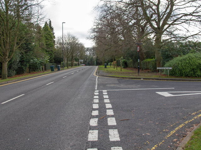
Gibbet Hill Road
Introduction
The photograph on this page of Gibbet Hill Road by David P Howard as part of the Geograph project.
The Geograph project started in 2005 with the aim of publishing, organising and preserving representative images for every square kilometre of Great Britain, Ireland and the Isle of Man.
There are currently over 7.5m images from over 14,400 individuals and you can help contribute to the project by visiting https://www.geograph.org.uk

Image: © David P Howard Taken: 4 Jan 2013
The junction of Cryfield Heights with Gibbet Hill Road, at the southern edge of the grid square. Gibbet Hill Road, being the main road that passes through the Warwick University Campus, is double yellow lines, as seen on this photo, from the A429 Kenilworth Road junction, right past the University. All the residential side roads, like Cryfield Heights, have double yellow lines for a few metres near the junctions, and are then single yellow lines throughout, with 8.00am to 6.00pm restrictions, presumably to stop staff and students parking for free during the day time.

