
IMAGES TAKEN NEAR TO
Honey Lane, CV34 8BH
Introduction
This page details the photographs taken nearby to Honey Lane, CV34 8BH by members of the Geograph project.
The Geograph project started in 2005 with the aim of publishing, organising and preserving representative images for every square kilometre of Great Britain, Ireland and the Isle of Man.

There are currently over 7.5m images from over14,400 individuals and you can help contribute to the project by visiting https://www.geograph.org.uk
Image Map
Images are licensed for reuse under creativecommons.org/licenses/by-sa/2.0
Notes
- Clicking on the map will re-center to the selected point.
- The higher the marker number, the further away the image location is from the centre of the postcode.
Image Listing (27 Images Found)
Images are licensed for reuse under creativecommons.org/licenses/by-sa/2.0
Image
Details
Distance
1
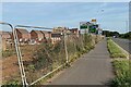
Well-connected new housing, Heathcote, Warwick
A long-expected development on farmland will have ready access to M40 and the towns.
Image: © Robin Stott
Taken: 21 Sep 2021
0.05 miles
2
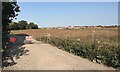
New housing development, Heathcote Hill Farm, Leamington
Compare Image taken 18 months previously. The pylons run parallel to A452 Europa Way, beyond which the power lines go underground through earlier residential development.
Image: © Robin Stott
Taken: 20 Sep 2020
0.08 miles
3
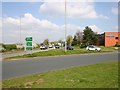
Europa Way, A452 approach to Leamington Spa
Looking NNE from the roundabout on the A452.
Image: © David P Howard
Taken: 14 Apr 2010
0.08 miles
4
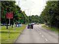
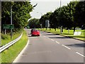
Southbound Europa Way (A452) approaching Gallows Hill
Image: © David Dixon
Taken: 21 Jul 2014
0.09 miles
6
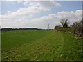
Field alongside Gallows Hill, Warwick
Looking WNW towards Warwick from just by the roundabout on the A452 Europa Way.
Image: © David P Howard
Taken: 14 Apr 2010
0.10 miles
8
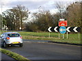
Gallows Hill island, Warwick
The five-way junction of Europa Way http://www.geograph.org.uk/photo/13233, Gallows Hill, Heathcote Lane and Harbury Lane.
It is one of those junctions where at times the traffic is so fast that you can't get on to it.
Old hedgerow oaks on Heathcote Lane, left, survive the southwards spread of development.
Image: © Robin Stott
Taken: 9 Mar 2009
0.10 miles
9
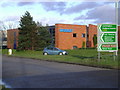
A452 Europa Way, Warwick
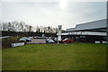
The acceptable face of the Heathcote industrial estate, by the Gallows Hill island.
Wanzl are believed to manufacture supermarket trolleys and checkout equipment.
Image: © Robin Stott
Taken: 9 Mar 2009
0.11 miles
10
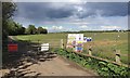
Land at Heathcote Hill Farm fenced for development, Warwick
The land lies to the north of the summit of Gallows Hill, behind the camera. Buildings centre and right are along the A452 Europa Way or in Tachbrook Park business park. Trees to the left screen Warwick Technology Park.
Image: © Robin Stott
Taken: 4 May 2019
0.12 miles