New housing development, Heathcote Hill Farm, Leamington
Introduction
The photograph on this page of New housing development, Heathcote Hill Farm, Leamington by Robin Stott as part of the Geograph project.
The Geograph project started in 2005 with the aim of publishing, organising and preserving representative images for every square kilometre of Great Britain, Ireland and the Isle of Man.

There are currently over 7.5m images from over 14,400 individuals and you can help contribute to the project by visiting https://www.geograph.org.uk
New housing development, Heathcote Hill Farm, Leamington
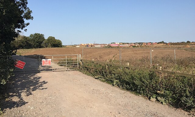
Image: © Robin Stott Taken: 20 Sep 2020
Compare Image taken 18 months previously. The pylons run parallel to A452 Europa Way, beyond which the power lines go underground through earlier residential development.
Images are licensed for reuse under creativecommons.org/licenses/by-sa/2.0
Image Location


Leaflet Map data © OpenStreetMap
Latitude
52.272432
Longitude
-1.559565