Well-connected new housing, Heathcote, Warwick
Introduction
The photograph on this page of Well-connected new housing, Heathcote, Warwick by Robin Stott as part of the Geograph project.
The Geograph project started in 2005 with the aim of publishing, organising and preserving representative images for every square kilometre of Great Britain, Ireland and the Isle of Man.

There are currently over 7.5m images from over 14,400 individuals and you can help contribute to the project by visiting https://www.geograph.org.uk
Well-connected new housing, Heathcote, Warwick
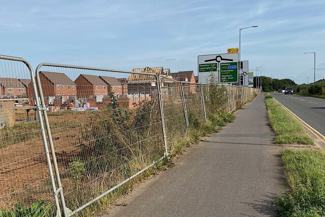
Image: © Robin Stott Taken: 21 Sep 2021
A long-expected development on farmland will have ready access to M40 and the towns.
Images are licensed for reuse under creativecommons.org/licenses/by-sa/2.0
Image Location


Leaflet Map data © OpenStreetMap
Latitude
52.270636
Longitude
-1.560022