
IMAGES TAKEN NEAR TO
Morris Close, RUGBY, CV21 1AX
Introduction
This page details the photographs taken nearby to Morris Close, CV21 1AX by members of the Geograph project.
The Geograph project started in 2005 with the aim of publishing, organising and preserving representative images for every square kilometre of Great Britain, Ireland and the Isle of Man.

There are currently over 7.5m images from over14,400 individuals and you can help contribute to the project by visiting https://www.geograph.org.uk
Image Map
Images are licensed for reuse under creativecommons.org/licenses/by-sa/2.0
Notes
- Clicking on the map will re-center to the selected point.
- The higher the marker number, the further away the image location is from the centre of the postcode.
Image Listing (61 Images Found)
Images are licensed for reuse under creativecommons.org/licenses/by-sa/2.0
Image
Details
Distance
2
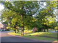
Newbold - Glebe Estate
Wooded footpath follows the course of an old arm of the Oxford Canal which serviced the quarry and nearby cement works in the 19th century.It heads from west to east through this council estate built in the 1940s.
Image: © Ian Rob
Taken: 3 Aug 2006
0.05 miles
3
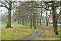
Evidence of abandoned canal, Yates Avenue, Rugby (2)
Yates Avenue is built on the long-disused original route of the Oxford Canal. The depression between the two tree-lined embankments marks the course of the abandoned waterway. This section of the canal was bypassed by a more direct route in the nineteenth century.
Image: © Andy F
Taken: 18 Jan 2010
0.06 miles
5
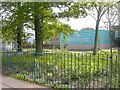
Newbold-Avon Valley School
The school had to be rebuilt after being destroyed by fire in 2004.
Image: © Ian Rob
Taken: 23 May 2009
0.08 miles
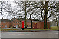
7
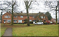
Former council housing on Yates Avenue, Rugby
Image: © Andy F
Taken: 18 Jan 2010
0.09 miles
8
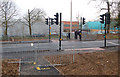
New pedestrian crossing on Newbold Road, Rugby
Image: © Andy F
Taken: 18 Jan 2010
0.09 miles
9
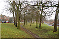
Evidence of abandoned canal, Yates Avenue, Rugby (1)
Yates Avenue is built on the long-disused original route of the Oxford Canal. The depression between the two tree-lined embankments marks the course of the abandoned waterway. This section of the canal was bypassed by a more direct route in the nineteenth century.
Image: © Andy F
Taken: 18 Jan 2010
0.10 miles
10
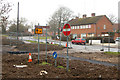
Defunct road signs 'marooned'
These road signs were left marooned when an access road was relocated during the construction of Rugby Western Relief Road.
Image: © Andy F
Taken: 18 Jan 2010
0.11 miles