
IMAGES TAKEN NEAR TO
Conisbrough Keep, COVENTRY, CV1 5PE
Introduction
This page details the photographs taken nearby to Conisbrough Keep, CV1 5PE by members of the Geograph project.
The Geograph project started in 2005 with the aim of publishing, organising and preserving representative images for every square kilometre of Great Britain, Ireland and the Isle of Man.

There are currently over 7.5m images from over14,400 individuals and you can help contribute to the project by visiting https://www.geograph.org.uk
Image Map
Images are licensed for reuse under creativecommons.org/licenses/by-sa/2.0
Notes
- Clicking on the map will re-center to the selected point.
- The higher the marker number, the further away the image location is from the centre of the postcode.
Image Listing (364 Images Found)
Images are licensed for reuse under creativecommons.org/licenses/by-sa/2.0
Image
Details
Distance
1
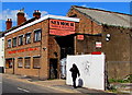
Seymour Paper & Packaging, Coventry
Viewed across Lower Ford Street.
Image: © Jaggery
Taken: 18 Apr 2015
0.04 miles
2
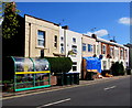
Lower Ford Street houses, wheelie bins and bus shelter, Coventry
SE of the Alma Street junction.
Image: © Jaggery
Taken: 18 Apr 2015
0.04 miles
3
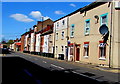
Lower Ford Street, Coventry
NW from the corner of Hood Street. http://www.geograph.org.uk/photo/4437845
Image: © Jaggery
Taken: 18 Apr 2015
0.05 miles
4
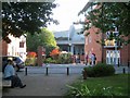
Looking across Lower Ford Street to Conisbrough Keep, Coventry
Conisbrough Keep appears to be a gated private road serving several blocks of student accommodation; another block is on the right. The viewpoint is a welcome scrap of open space at the acute corner of Lower Ford Street and Alma Street.
Image: © Robin Stott
Taken: 22 Sep 2013
0.06 miles
5
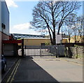
Entrance to the Norman Hay site in Coventry
Viewed along Godiva Place from the corner of Lower Ford Street.
Norman Hay plc are specialists in chemicals, sealants and surface coatings.
Image: © Jaggery
Taken: 18 Apr 2015
0.06 miles
6
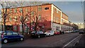
Alma Building, Alma Street, Hillfields
Now part of Coventry University, this building once belonged to Singer & Company Limited, makers first of bicycles, then motor cycles and motor cars. Singer had a number of sites in the area; this one is marked on an aerial photo as 'Final Testing and Show Rooms'. Workers at Singer founded the Singer Football Club in 1883, which later became Coventry City FC. See the Coventry Society page on Hillfields https://www.coventrysociety.org.uk/coventry-neighbourhoods/hillfields/ , also the Coventry University site https://www.coventry.ac.uk/the-university/about-coventry-university/our-buildings/buildings/ .
Image: © A J Paxton
Taken: 6 Jan 2024
0.07 miles
8
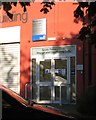
Coventry University, Sports Therapy Clinic entrance, Alma Street, Coventry
Various signs say: Alma Building / Faculty of Health and Life Sciences / Sports Therapy Clinic / Strength and Conditioning Suite / Coventry University. The buildings all down the street look like a factory but are occupied by the university. The street must take its name from the battle of Alma, 1854, an episode in the Crimean War, and was presumably laid out soon afterwards.
Image: © Robin Stott
Taken: 22 Sep 2013
0.07 miles
9
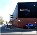
Corner of Godiva Place and Lower Ford Street, Coventry
Godiva Place on the right leads to the entrance to the Norman Hay site. http://www.geograph.org.uk/photo/4437826
Godiva was an 11th century Anglo-Saxon noblewoman, the wife of Leofric, Earl of Mercia. According to legend she rode naked (covered only by her long hair) through the streets of Coventry to meet her husband's stipulation for the abolition of the oppressive taxation he had imposed on his tenants. Tellingly perhaps, the first recorded mention of this alleged ride was not until two centuries after her death.
Image: © Jaggery
Taken: 18 Apr 2015
0.07 miles
10
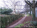
City wall and slip road
Remains of the city wall[1] alongside the footpath leading to the bottom of Gosford Street, where Gosford Gate once stood. The slip road joins the ring road from Sky Blue Way roundabout.
Image: © E Gammie
Taken: 31 Dec 2008
0.08 miles