City wall and slip road
Introduction
The photograph on this page of City wall and slip road by E Gammie as part of the Geograph project.
The Geograph project started in 2005 with the aim of publishing, organising and preserving representative images for every square kilometre of Great Britain, Ireland and the Isle of Man.

There are currently over 7.5m images from over 14,400 individuals and you can help contribute to the project by visiting https://www.geograph.org.uk
City wall and slip road
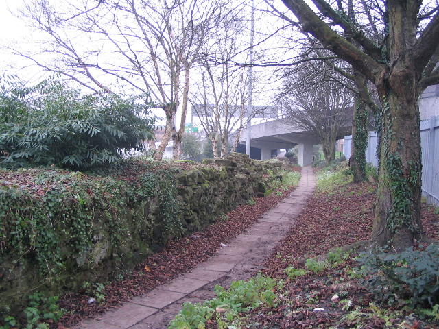
Image: © E Gammie Taken: 31 Dec 2008
Remains of the city wall[1] alongside the footpath leading to the bottom of Gosford Street, where Gosford Gate once stood. The slip road joins the ring road from Sky Blue Way roundabout.
Images are licensed for reuse under creativecommons.org/licenses/by-sa/2.0
Image Location
Latitude
52.407956
Longitude
-1.501915