
IMAGES TAKEN NEAR TO
Wide Way, MITCHAM, CR4 1BN
Introduction
This page details the photographs taken nearby to Wide Way, CR4 1BN by members of the Geograph project.
The Geograph project started in 2005 with the aim of publishing, organising and preserving representative images for every square kilometre of Great Britain, Ireland and the Isle of Man.

There are currently over 7.5m images from over14,400 individuals and you can help contribute to the project by visiting https://www.geograph.org.uk
Image Map
Images are licensed for reuse under creativecommons.org/licenses/by-sa/2.0
Notes
- Clicking on the map will re-center to the selected point.
- The higher the marker number, the further away the image location is from the centre of the postcode.
Image Listing (35 Images Found)
Images are licensed for reuse under creativecommons.org/licenses/by-sa/2.0
Image
Details
Distance
1

Pollards Hill Baptist Church
On Wide Way.
Image: © David Anstiss
Taken: 30 Oct 2011
0.05 miles
2
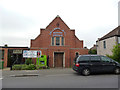
Pollards Hill Baptist Church
On Wide Way. We are just in the eastern fringes of the London Borough of Merton here.
Image: © Dr Neil Clifton
Taken: 21 May 2012
0.06 miles
3
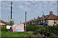
Pollards Hill
Roundabout at the western end of South Lodge Avenue.
Image: © Peter Trimming
Taken: 12 Apr 2020
0.08 miles
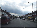
5

Roundabout in Pollards Hill
South Lodge Avenue from Thornton Heath leads to the junction.
On the left, Chestnut Grove (passes some shops) towards Commonside East.
Also, Sherwood Park Road leads to Manor Road.
On the right, Wide Way leads to Rowan Road, and Recreation Way leads back to South Lodge Avenue.
Image: © David Anstiss
Taken: 30 Oct 2011
0.08 miles
6
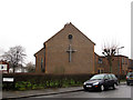
Church of the Ascension, Pollards Hill: east end
The church is in the acute angle of the junction of Sherwood Park Road and Greenwood Road (foreground). It is an Anglican church, built in 1953 as the Ascension, Mitcham. Despite the parish's present name it is on the plain: the eponymous hill Image is actually in the parish of St Philip, Norbury.
Image: © Stephen Craven
Taken: 26 Feb 2013
0.09 miles
7
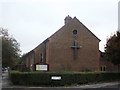
Church of the Ascension, Pollards Hill
Church on the junction of Sherwood Park Road (on the left) and Greenwood Road (in front).
Image: © David Anstiss
Taken: 30 Oct 2011
0.09 miles
8
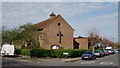
Church of the Ascension
The Church of the Ascension stands within the liberal catholic tradition of the Church of England. The present Church building, in Pollards Hill, dates from 1953.
Image: © Peter Trimming
Taken: 12 Apr 2020
0.09 miles
9
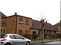
Church of the Ascension, Pollards Hill: hall
The church hall is on the Greenwood Road frontage of the site.
Image: © Stephen Craven
Taken: 26 Feb 2013
0.10 miles
10
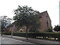
Church of the Ascencion on Sherwood Park Road
Image: © David Howard
Taken: 22 Jun 2014
0.10 miles