
IMAGES TAKEN NEAR TO
Gayton Road, WIRRAL, CH60 8PF
Introduction
This page details the photographs taken nearby to Gayton Road, CH60 8PF by members of the Geograph project.
The Geograph project started in 2005 with the aim of publishing, organising and preserving representative images for every square kilometre of Great Britain, Ireland and the Isle of Man.

There are currently over 7.5m images from over14,400 individuals and you can help contribute to the project by visiting https://www.geograph.org.uk
Image Map
Images are licensed for reuse under creativecommons.org/licenses/by-sa/2.0
Notes
- Clicking on the map will re-center to the selected point.
- The higher the marker number, the further away the image location is from the centre of the postcode.
Image Listing (20 Images Found)
Images are licensed for reuse under creativecommons.org/licenses/by-sa/2.0
Image
Details
Distance
1
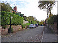
Gayton - view along Gayton Farm Road
Gayton: view along Gayton Farm Road from its junction with Well Lane and Cottage Lane. See also Image This cobbled road is also a public footpath, leading past Backwood Hall to Boathouse Lane in Parkgate.
Image: © Mike Harris
Taken: 29 Oct 2006
0.07 miles
2
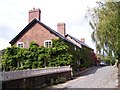
Cobbled road in Gayton
Ivy clad farm cottages in Gayton Farm Road
Image: © Raymond Knapman
Taken: 2 Sep 2011
0.11 miles
3
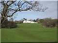
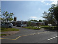
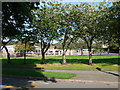
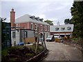
Heswall Golf Club House
The Club's first club house was built in 1904 but was destroyed by fire in 1924. The new club house designed by the distinguished Liverpool Architect Herbert J Rowse who later designed India Buildings, Martins Bank Building, the Philharmonic Hall and Woodchurch Estate was completed in 1926 on the site it occupies today with commanding views over the Dee Estuary and North Wales.
Image: © Sue Adair
Taken: 2 Feb 2014
0.11 miles
8
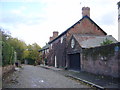
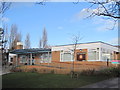
The Old Farm, Gayton
An old farmhouse on the cobbled Gayton Farm Road, with a date stone inscribed RCH 1761. Brick built converted farm buildings with stone & slate roof, raking stone buttress.
Image: © Sue Adair
Taken: 22 Oct 2005
0.19 miles
9
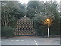
Ornamental Gates, originally at Birkenhead Woodside Station
Image: © Colin Pyle
Taken: 11 Feb 2014
0.20 miles
10
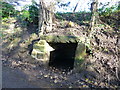
Ancient well on track off Gayton Farm Road
Image: © Raymond Knapman
Taken: 12 Nov 2013
0.20 miles