Gayton - view along Gayton Farm Road
Introduction
The photograph on this page of Gayton - view along Gayton Farm Road by Mike Harris as part of the Geograph project.
The Geograph project started in 2005 with the aim of publishing, organising and preserving representative images for every square kilometre of Great Britain, Ireland and the Isle of Man.

There are currently over 7.5m images from over 14,400 individuals and you can help contribute to the project by visiting https://www.geograph.org.uk
Gayton - view along Gayton Farm Road
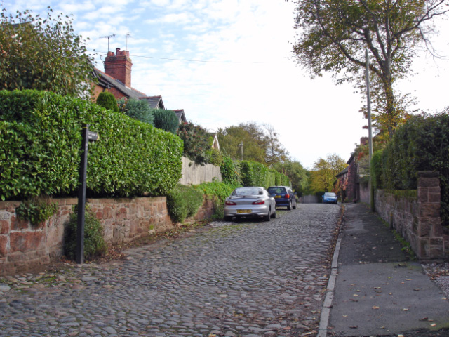
Image: © Mike Harris Taken: 29 Oct 2006
Gayton: view along Gayton Farm Road from its junction with Well Lane and Cottage Lane. See also Image This cobbled road is also a public footpath, leading past Backwood Hall to Boathouse Lane in Parkgate.
Images are licensed for reuse under creativecommons.org/licenses/by-sa/2.0
Image Location
Latitude
53.316137
Longitude
-3.094077