
IMAGES TAKEN NEAR TO
Old Cemetery Road, MOUNTAIN ASH, CF45 4NF
Introduction
This page details the photographs taken nearby to Old Cemetery Road, CF45 4NF by members of the Geograph project.
The Geograph project started in 2005 with the aim of publishing, organising and preserving representative images for every square kilometre of Great Britain, Ireland and the Isle of Man.

There are currently over 7.5m images from over14,400 individuals and you can help contribute to the project by visiting https://www.geograph.org.uk
Image Map
Images are licensed for reuse under creativecommons.org/licenses/by-sa/2.0
Notes
- Clicking on the map will re-center to the selected point.
- The higher the marker number, the further away the image location is from the centre of the postcode.
Image Listing (25 Images Found)
Images are licensed for reuse under creativecommons.org/licenses/by-sa/2.0
Image
Details
Distance
1
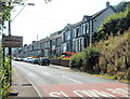
NW boundary of Abercynon
The B4275 from Pontcynon reaches Abercynon, a village in the Cynon valley
in Rhondda Cynon Taf county borough.
Image: © Jaggery
Taken: 10 Aug 2012
0.09 miles
2
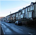
Abercynon Road houses, Abercynon
Viewed across the B4275 Abercynon Road from Pontcynon. The Abercynon boundary sign is behind the camera.
Image: © Jaggery
Taken: 4 Feb 2019
0.09 miles
3
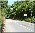
Gap in the houses on Abercynon Road
Viewed from the NW edge of Abercynon. The B4275 passes through a 150 metre long wooded area before reaching the SE border of Pontcynon, where the houses resume.
Image: © Jaggery
Taken: 10 Aug 2012
0.11 miles
4
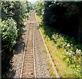
Aberdare Branch railway line, Pontcynon
A view SE in the direction of Abercynon railway station from this http://www.geograph.org.uk/photo/3079937 bridge.
Image: © Jaggery
Taken: 10 Aug 2012
0.14 miles
5
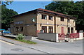
Clubhouse, Abercynon RFC, Pontcynon
Out of shot, a footbridge connects the rugby club house with the rugby pitch on the opposite bank of the river (Afon Cynon).
Image: © Jaggery
Taken: 10 Aug 2012
0.16 miles
6
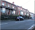
Houses above Abercynon Road, Abercynon
Houses on this side of the B4275 Abercynon Road are set slightly above road level.
Houses on the camera side at set slightly below road level.
Image: © Jaggery
Taken: 4 Feb 2019
0.18 miles
7
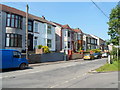
Abercynon Road houses, Pontcynon
Viewed from near a hairpin bend http://www.geograph.org.uk/photo/3079973 in the B4275.
Image: © Jaggery
Taken: 10 Aug 2012
0.19 miles
8
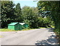
Two green corrugated metal buildings, Abercynon
The buildings are near these http://www.geograph.org.uk/photo/3079504 houses. They may perhaps be lockup garages, though the vegetation around the door of the building on the right suggests that it has not been used for some time.
Image: © Jaggery
Taken: 10 Aug 2012
0.19 miles
9
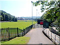
SW edge of Parc Abercynon, Pontcynon
Parc Abercynon, or Y Parc, is the home ground of Abercynon Rugby Football Club.
This side of the park borders a river, Afon Cynon.
Image: © Jaggery
Taken: 10 Aug 2012
0.20 miles
10
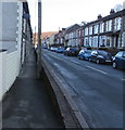
Pavement below Abercynon Road, Abercynon
Houses on this side of the B4275 Abercynon Road are set slightly below road level.
Houses on the opposite side are set slightly above road level.
Image: © Jaggery
Taken: 4 Feb 2019
0.20 miles