Pavement below Abercynon Road, Abercynon
Introduction
The photograph on this page of Pavement below Abercynon Road, Abercynon by Jaggery as part of the Geograph project.
The Geograph project started in 2005 with the aim of publishing, organising and preserving representative images for every square kilometre of Great Britain, Ireland and the Isle of Man.

There are currently over 7.5m images from over 14,400 individuals and you can help contribute to the project by visiting https://www.geograph.org.uk
Pavement below Abercynon Road, Abercynon
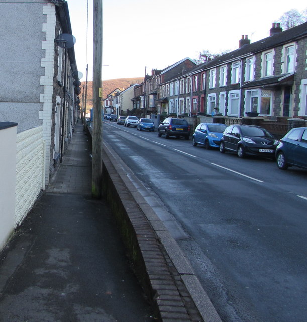
Image: © Jaggery Taken: 4 Feb 2019
Houses on this side of the B4275 Abercynon Road are set slightly below road level. Houses on the opposite side are set slightly above road level.
Images are licensed for reuse under creativecommons.org/licenses/by-sa/2.0
Image Location
Latitude
51.649125
Longitude
-3.330702