Gap in the houses on Abercynon Road
Introduction
The photograph on this page of Gap in the houses on Abercynon Road by Jaggery as part of the Geograph project.
The Geograph project started in 2005 with the aim of publishing, organising and preserving representative images for every square kilometre of Great Britain, Ireland and the Isle of Man.

There are currently over 7.5m images from over 14,400 individuals and you can help contribute to the project by visiting https://www.geograph.org.uk
Gap in the houses on Abercynon Road
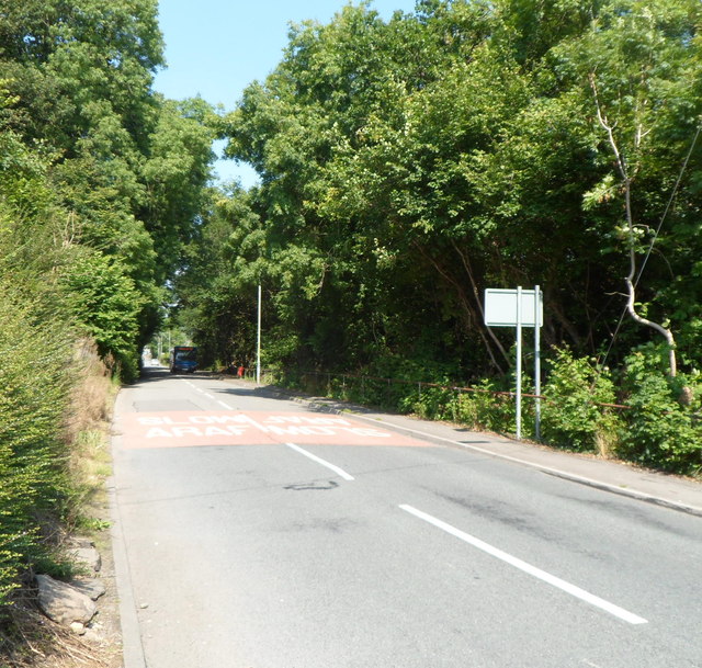
Image: © Jaggery Taken: 10 Aug 2012
Viewed from the NW edge of Abercynon. The B4275 passes through a 150 metre long wooded area before reaching the SE border of Pontcynon, where the houses resume.
Images are licensed for reuse under creativecommons.org/licenses/by-sa/2.0
Image Location
Latitude
51.651689
Longitude
-3.334535