
IMAGES TAKEN NEAR TO
Brinkley Road, NEWMARKET, CB8 0RD
Introduction
This page details the photographs taken nearby to Brinkley Road, CB8 0RD by members of the Geograph project.
The Geograph project started in 2005 with the aim of publishing, organising and preserving representative images for every square kilometre of Great Britain, Ireland and the Isle of Man.

There are currently over 7.5m images from over14,400 individuals and you can help contribute to the project by visiting https://www.geograph.org.uk
Image Map
Images are licensed for reuse under creativecommons.org/licenses/by-sa/2.0
Notes
- Clicking on the map will re-center to the selected point.
- The higher the marker number, the further away the image location is from the centre of the postcode.
Image Listing (23 Images Found)
Images are licensed for reuse under creativecommons.org/licenses/by-sa/2.0
Image
Details
Distance
1
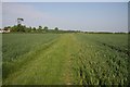
Footpath through wheat
One of the many footpaths in the area.
Image: © Hugh Venables
Taken: 23 May 2008
0.03 miles
2
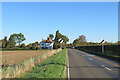
On the B1052 Dullingham Road
Nearing Fern Cottage, between Brinkley and Burrough End, on a sparkling October morning.
Image: © John Sutton
Taken: 18 Oct 2022
0.03 miles
3
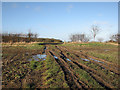
Rutted track near Brinkley Road
The path from Burrough Green to Westley Waterless shares this farm track (glutinous for walkers at the end of 2012). The Dutch barn to the right of the track which is marked on current OS maps and shown in Image] no longer exists.
Image: © John Sutton
Taken: 30 Dec 2012
0.04 miles
4
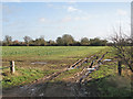
Over the fields to Burrough Green
A muddy farm gateway where the footpath from Burrough Green reaches Brinkley Road.
Image: © John Sutton
Taken: 30 Dec 2012
0.05 miles
5
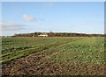
Footpath to Westley Waterless
The footpath from Burrough Green shares a farm track on its way to Brinkley Road.
Image: © John Sutton
Taken: 30 Dec 2012
0.09 miles
6
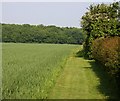
Footpath
Between a garden and a wheat field, heading towards Hay Wood.
Image: © Hugh Venables
Taken: 23 May 2008
0.10 miles
7
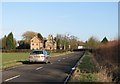
Nearing Burrough End
On the B1052 mid-way between Linton and Newmarket.
Image: © John Sutton
Taken: 30 Dec 2012
0.10 miles
8
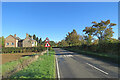
Burrough End: the B1052 near the Westley Waterless turn
Image] is a winter view from the other side of the road, taken nearly ten years before.
Image: © John Sutton
Taken: 18 Oct 2022
0.12 miles
10
Footpath sign
Off the road to Brinkley.
Image: © Hugh Venables
Taken: 23 May 2008
0.12 miles