Rutted track near Brinkley Road
Introduction
The photograph on this page of Rutted track near Brinkley Road by John Sutton as part of the Geograph project.
The Geograph project started in 2005 with the aim of publishing, organising and preserving representative images for every square kilometre of Great Britain, Ireland and the Isle of Man.

There are currently over 7.5m images from over 14,400 individuals and you can help contribute to the project by visiting https://www.geograph.org.uk
Rutted track near Brinkley Road
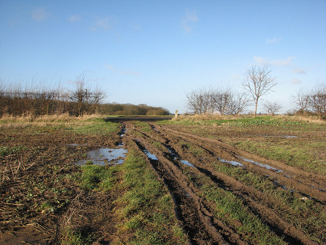
Image: © John Sutton Taken: 30 Dec 2012
The path from Burrough Green to Westley Waterless shares this farm track (glutinous for walkers at the end of 2012). The Dutch barn to the right of the track which is marked on current OS maps and shown in Image] no longer exists.
Images are licensed for reuse under creativecommons.org/licenses/by-sa/2.0
Image Location
Latitude
52.173612
Longitude
0.38138