
IMAGES TAKEN NEAR TO
Wheat Croft, CAMBRIDGE, CB21 4YR
Introduction
This page details the photographs taken nearby to Wheat Croft, CB21 4YR by members of the Geograph project.
The Geograph project started in 2005 with the aim of publishing, organising and preserving representative images for every square kilometre of Great Britain, Ireland and the Isle of Man.

There are currently over 7.5m images from over14,400 individuals and you can help contribute to the project by visiting https://www.geograph.org.uk
Image Map
Images are licensed for reuse under creativecommons.org/licenses/by-sa/2.0
Notes
- Clicking on the map will re-center to the selected point.
- The higher the marker number, the further away the image location is from the centre of the postcode.
Image Listing (47 Images Found)
Images are licensed for reuse under creativecommons.org/licenses/by-sa/2.0
Image
Details
Distance
3
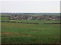
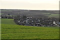
The edge of Linton
Looking down from Rivey Hill.
Image: © Hugh Venables
Taken: 2 Apr 2015
0.11 miles
7
Balsham Road
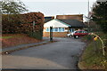
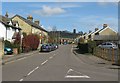
Reasonably modern houses in the local Cambridgeshire yellow brick, including the village's post office. In the background is Chilford Water Tower, on Rivey Hill. (See Image for a close-up.)
Image: © Colin Bell
Taken: 30 Mar 2008
0.14 miles
9
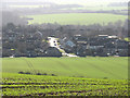
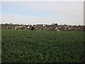
Looking down on Linton
A zoom shot against the light on a bright February morning, showing the newer eastern parts of the village about 55m/180ft below the Water Tower on Rivey Hill.
Image: © John Sutton
Taken: 8 Feb 2011
0.15 miles
10
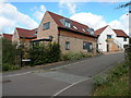
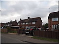
Keene Fields
Modern housing in east Linton
Image: © Keith Edkins
Taken: 13 Sep 2017
0.15 miles