Looking down on Linton
Introduction
The photograph on this page of Looking down on Linton by John Sutton as part of the Geograph project.
The Geograph project started in 2005 with the aim of publishing, organising and preserving representative images for every square kilometre of Great Britain, Ireland and the Isle of Man.

There are currently over 7.5m images from over 14,400 individuals and you can help contribute to the project by visiting https://www.geograph.org.uk
Looking down on Linton
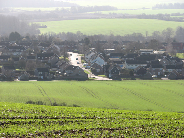
Image: © John Sutton Taken: 8 Feb 2011
A zoom shot against the light on a bright February morning, showing the newer eastern parts of the village about 55m/180ft below the Water Tower on Rivey Hill.
Images are licensed for reuse under creativecommons.org/licenses/by-sa/2.0
Image Location
Latitude
52.101802
Longitude
0.288625