
IMAGES TAKEN NEAR TO
Darrick Wood Road, ORPINGTON, BR6 8AW
Introduction
This page details the photographs taken nearby to Darrick Wood Road, BR6 8AW by members of the Geograph project.
The Geograph project started in 2005 with the aim of publishing, organising and preserving representative images for every square kilometre of Great Britain, Ireland and the Isle of Man.

There are currently over 7.5m images from over14,400 individuals and you can help contribute to the project by visiting https://www.geograph.org.uk
Image Map
Images are licensed for reuse under creativecommons.org/licenses/by-sa/2.0
Notes
- Clicking on the map will re-center to the selected point.
- The higher the marker number, the further away the image location is from the centre of the postcode.
Image Listing (37 Images Found)
Images are licensed for reuse under creativecommons.org/licenses/by-sa/2.0
Image
Details
Distance
1
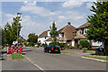
Darrick Wood Road
1940s/50s(?) housing on the Pound Court estate. At the time this photo was taken, the streetlamps were being replaced with modern energy efficient lighting.
Image: © Ian Capper
Taken: 8 Aug 2013
0.03 miles
2
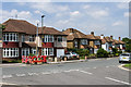
Pound Court Drive
1940s/50s(?) housing on the Pound Court estate. At the time this photo was taken, the streetlamps were being replaced with modern energy efficient lighting.
Image: © Ian Capper
Taken: 8 Aug 2013
0.07 miles
3
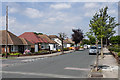
Rusland Avenue
1940s/50s(?) bungalows in an area between Crofton Road and Crofton Avenue.
Image: © Ian Capper
Taken: 8 Aug 2013
0.09 miles
4
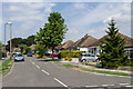
Foxfield Road
1940s/50s(?) bungalows in an area between Crofton Road and Crofton Avenue.
Image: © Ian Capper
Taken: 8 Aug 2013
0.09 miles
5
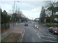
Crofton Road, junction with Crofton Lane, Orpington
Image: © Stacey Harris
Taken: 14 Feb 2009
0.10 miles
6
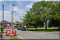
Pound Court Drive
1940s/50s(?) housing on the Pound Court estate. At the time this photo was taken, the streetlamps were being replaced with modern energy efficient lighting.
Image: © Ian Capper
Taken: 8 Aug 2013
0.10 miles
8
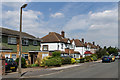
Grange Road
Mainly 1940s/50s(?) housing. The road name refers to a large house, Crofton Grange, situated near the junction of Crofton Road and Crofton Avenue, although much of the road had been developed by the time the Grange itself was demolished in around 1953.
Image: © Ian Capper
Taken: 8 Aug 2013
0.11 miles
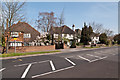
10
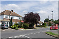
Torver Way
1940s/50s(?) housing in an area between Crofton Road and Crofton Avenue.
Image: © Ian Capper
Taken: 8 Aug 2013
0.11 miles