Grange Road
Introduction
The photograph on this page of Grange Road by Ian Capper as part of the Geograph project.
The Geograph project started in 2005 with the aim of publishing, organising and preserving representative images for every square kilometre of Great Britain, Ireland and the Isle of Man.

There are currently over 7.5m images from over 14,400 individuals and you can help contribute to the project by visiting https://www.geograph.org.uk
Grange Road
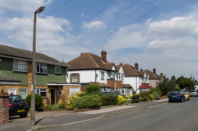
Image: © Ian Capper Taken: 8 Aug 2013
Mainly 1940s/50s(?) housing. The road name refers to a large house, Crofton Grange, situated near the junction of Crofton Road and Crofton Avenue, although much of the road had been developed by the time the Grange itself was demolished in around 1953.
Images are licensed for reuse under creativecommons.org/licenses/by-sa/2.0
Image Location
Latitude
51.371527
Longitude
0.0747