
IMAGES TAKEN NEAR TO
Hearns Road, ORPINGTON, BR5 3NF
Introduction
This page details the photographs taken nearby to Hearns Road, BR5 3NF by members of the Geograph project.
The Geograph project started in 2005 with the aim of publishing, organising and preserving representative images for every square kilometre of Great Britain, Ireland and the Isle of Man.

There are currently over 7.5m images from over14,400 individuals and you can help contribute to the project by visiting https://www.geograph.org.uk
Image Map
Images are licensed for reuse under creativecommons.org/licenses/by-sa/2.0
Notes
- Clicking on the map will re-center to the selected point.
- The higher the marker number, the further away the image location is from the centre of the postcode.
Image Listing (97 Images Found)
Images are licensed for reuse under creativecommons.org/licenses/by-sa/2.0
Image
Details
Distance
1
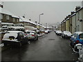
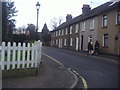
Hearns Road
The houses on the right date from about 1890, those on the left from about 1960.
Image: © Lindsey Coates
Taken: 6 Apr 2008
0.04 miles
2
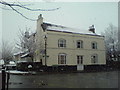
The Blue Anchor
The Blue Anchor pub closed in 1996 and was converted to flats in 1997-8, one of 3 pubs in the village to go this way.
Image: © Lindsey Coates
Taken: 6 Apr 2008
0.07 miles
3
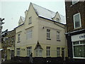
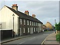
The Old Star
The Old Star pub is another one which has been converted to flats.
Image: © Lindsey Coates
Taken: 6 Apr 2008
0.08 miles
4
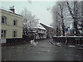
Survey House in April
Survey House is probably the one of the oldest buildings in the village (parts date from around 1500-1520). Damaged by fire, it has been renovated and converted to houses. The Blue Anchor building, at the left of the picture, includes timbers which suggest it was originally built at the same time as Survey House.
Image: © Lindsey Coates
Taken: 6 Apr 2008
0.09 miles
7
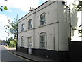
The Blue Anchor Public House, St. Paul's Cray
This former pub on Main Road, opposite Station Road, is a Grade II listed building now converted into a private house.
See http://www.britishlistedbuildings.co.uk/en-471060-the-blue-anchor-public-house-1-bromley for more details.
Image: © David Anstiss
Taken: 24 Jul 2011
0.11 miles
9
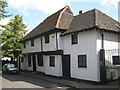
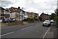
5 - 9 Main Road, St. Pauls Cray
Grade II listed Building, built in 16th Century.
See http://www.britishlistedbuildings.co.uk/en-358488-5-9-bromley for more details about the jettyed timber framed building.
Image: © David Anstiss
Taken: 24 Jul 2011
0.12 miles
10
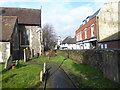
In St Mary the Virgin Churchyard, St Mary Cray
John Newman in Pevsner's 'The Buildings of England: West Kent and the Weald' writing in 1969 was fairly scathing about St Mary Cray. He wrote: "The post-war expansion in the Cray Valley has been terrific... So it is an indictment of the planners that St Mary Cray is no place to linger in, and an indictment of the architects, and also it must be admitted of post-war austerity, that there is hardly anything worthy to be mentioned in 'The Buildings of England'; not a factory, not a school, not a housing estate, just one undistinguished church." Of the church he says: "Below the intimidating arches of the railway viaduct. Outside all one sees is of the restoration of 1861-3 (E. Nash), 1876 and 1895. ..But in essence the church is early 13th century. West tower and shingled spire. Nave and aisles of three bays."
This is the view from St Mary the Virgin Church with Main Road on the other side of the church wall - see also https://www.geograph.org.uk/photo/2456252
Image: © Marathon
Taken: 13 Feb 2020
0.12 miles